What is recorded here
Killameen holds a broad earthen ring on a drumlin slope, marked by a deep V-shaped ditch and coniferous trees. The eastern gap may be ancient while the western causeway is modern, suggesting the fort adapted rather than disappeared. People likely shaped the land for defense, drainage, or belief, then walked away and let the hill reclaim the shape.
Located towards the top of the E-facing slope of a broad drumlin. This is a circular area (int. diam. 44m N-S; 42.5m E-W), planted with coniferous trees, defined by a round-topped earthen bank (Wth 4.6m; int. H 0.3m; ext. H 2.3m) and an external V-shaped fosse (Wth 1.9m; D 1.25m) which has been deepened for drainage. An entrance (Wth 4.4m), but no causeway, at E may be original, while an entrance (Wth 2.1m) and causeway at W are modern. It is circumscribed by a minor S-N road S-W-NE.
The above description is derived from 'The Archaeological Inventory of County Leitrim' compiled by Michael J. Moore (Dublin: Stationery Office, 2003). In certain instances the entries have been revised and updated in the light of recent research.
Date of upload: 23 September 2008
The monument record does not grant public access. Check the route and ask the landowner before entering private land.
- What survives
- Recorded monument
Places near here
 Saint Columba's Church (Drumreilly)church/chapel · 1397 yd
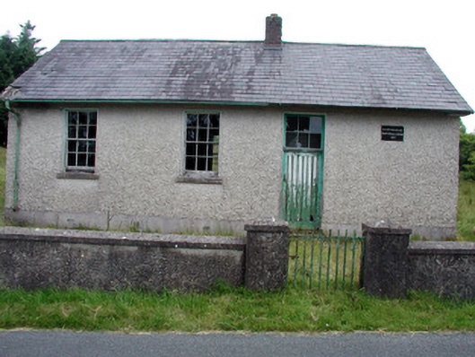 Gortachoosh National Schoolschool · 1672 yd
 Fairy fort / earthen ringfort in AgharannFairy fort / earthen ringfort · 1728 yd
 Holy well in KillyfeaHoly well · 1.4 mi
 Swan Island pet farmHeritage attraction · 2.7 mi
 King's GraveArchaeological place · 3.0 mi
 DrummuckerMountain / peak · 3.0 mi
 Crane IslandIslet · 3.2 mi
 BatteryBawn · 3.2 mi
 Cherry IslandIslet · 3.4 mi
 Bawn in Cherry IslandBawn · 3.5 mi
 Pedunculate OakPedunculate Oak · 3.5 mi