What is recorded here
Kilcolman East holds a broad earthen ring where cattle still wear the bank and nettles cluster in the shade. The fort faces east, keeps a wide entrance, and belongs to the old rath tradition rather than fairy fantasy. People may have lived inside, marked the field corner, or simply avoided the hollow for want of a better explanation.
In low-lying pasture, on gentle E-facing slope. Circular area (62m N-S; 61m E-W) enclosed by earthen bank with external fosse (D 0.25m; Wth 1.6m). Bank (int. H 0.35m; ext. H 0.8m), heavily masked by overgrowth SW->NNE, has been worn down by cattle at SSW. Entrance at E (Wth 4m). Field boundary, forming corner of field, runs along outer edge of fosse SW->NNE. Level interior under pasture but with cluster of nettles around verge.
Compiled by: Denis Power
Date of upload: 26 August 2011
See attached ASI aerial photographs ASIAP – taken on 04/03/2006.
The monument record does not grant public access. Check the route and ask the landowner before entering private land.
- What survives
- Recorded monument
Places near here
 post boxpost box · 912 yd
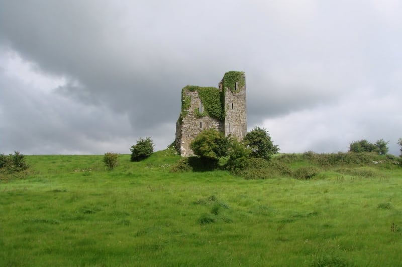 Enclosure in Kilcolman EastEnclosure · 1250 yd
 Burial GroundGraveyard · 1264 yd
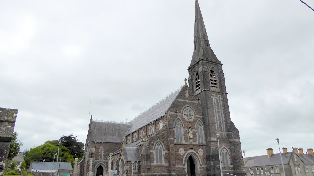 Church (in Ruins)Church · 1.1 mi
 European ashEuropean ash · 1.1 mi
 CastleCastle, tower house · 1.2 mi
 LaghtpatrickSpring · 1.5 mi
 Lady's WellSpring · 2.1 mi
 Glebe CastleCastle · 2.4 mi
 Flat cemetery in CroaghFlat cemetery · 4.6 mi
 Famine stoneMemorial · 4.7 mi
 Limerick GreenwayWalking route · 9.0 mi