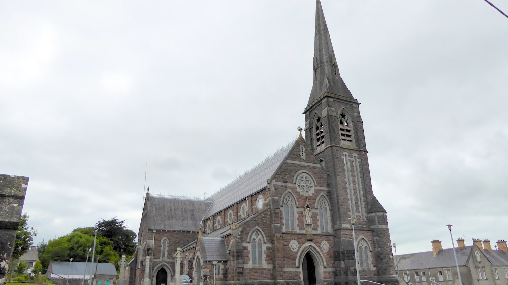
What is recorded here
Westropp (1904-5, 391-2) recorded the following details on Ballyallinan also known as Templebeinid; ‘Ballyellynan, 1452; (Rental), probably Benedict's chapel; Capella Mineta, 1410,
1418, 1615 b. ; Ballyalynan, 1600 ; (Fiants, 6464 and 6487) granted with Dourlas to Robert Dawges, 1670 (Act Sett.). Fabric - The church of St. Beinid lies to the east of the castle [LI029-055----]. The east gable, 11 feet [3.35m] wide, with, about 14 feet [4.25m] of the sides, remained in 1840. The window had a wide, round-arched splay of cut stone; the sides were 9 feet [2.7m] high and 2½ feet [0.75m] thick. St. Beinid's well [LI029-056003-] (not "Bernard's,'' as on map) lay near it (O.S.L., 8, p. 182, by T. O'Conor).
Church ruins described in 1840 as 'the ruins of small edifice which is called Teampall Beinid, that is, the Church of Beinid (Benedict?). Of the side wall fourteen feet [4.25m] in length remain, as does also the east gable. The breadth of the building is eleven feet [3.35m]. On the gable is a window covered with ivy on the inside; is round at top on the outside measuring three feet nine inches [1.14m] by six inches [0.15m], constructed with chiselled brown stone . At the distance of three feet [0.9m] from this gable there was on the south side wall a window. Of the stone which composed it only one remains on the inside which is of the brown quality and chiselled. The side walls are nine feet [2.7m] high and two and a half feet [0.75m] thick. The materials of the building were lime stones, round and small, and cement was lime and sand mortar. Only children are buried here now [LI029-056002-]. About thirty yards [27m] to the southwest of this building is a well called Tobar Beinid, that is Beinid's Well [LI029-056003-]' (OSL, 62).
See attached colour photographs courtesy of Amanda Clarke
Compiled by: Caimin O'Brien
Date of upload: 22 January 2019
The monument record does not grant public access. Check the route and ask the landowner before entering private land.
- What survives
- Recorded monument
Places near here
 European ashEuropean ash · 31 yd
 St. Bernards WellHoly well · 46 yd
 CastleCastle, tower house · 332 yd
 BarrowBarrow, unclassified · 1260 yd
 post boxpost box · 1.4 mi
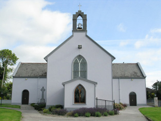 Saint Munchin's Catholic Churchchurch/chapel · 1.5 mi
 LaghtpatrickSpring · 2.1 mi
 Glebe CastleCastle · 2.2 mi
 TobernablahySpring · 2.4 mi
 Limerick GreenwayWalking route · 8.0 mi
 Sugar HillMountain / peak · 9.5 mi
 Ballagh MountainMountain / peak · 9.8 mi
Other information
Photo: Credit not shown in the picture search · Rights wording not checked; contact us if this picture should be removed