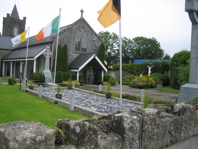
What is recorded here
In reclaimed grassland, with post-1700 field boundary running NNE-SSW across NW quadrant of monument. Cropmark of circular-shaped area (approx. diam. 17m) defined by a scarp and external ditch visible on Digital Globe orthophoto taken 2011-13. Cropmark of earthwork clearly visible on Google Earth orthoimage taken 08/04/2015.
See attached Google Earth orthophoto taken 08/04/2015.
Compiled by: Caimin O’Brien
Date of upload: 31 May 2020
A Neolithic bowl barrow; its significance lies in its potential to contribute to understanding early burial practices and landscape use in the region.
The monument record does not grant public access. Check the route and ask the landowner before entering private land.
- What survives
- Recorded monument
Places near here
 CastleCastle, tower house · 960 yd
 St. Bernards WellHoly well · 1214 yd
 European ashEuropean ash · 1230 yd
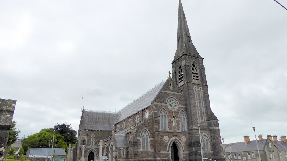 Church (in Ruins)Church · 1260 yd
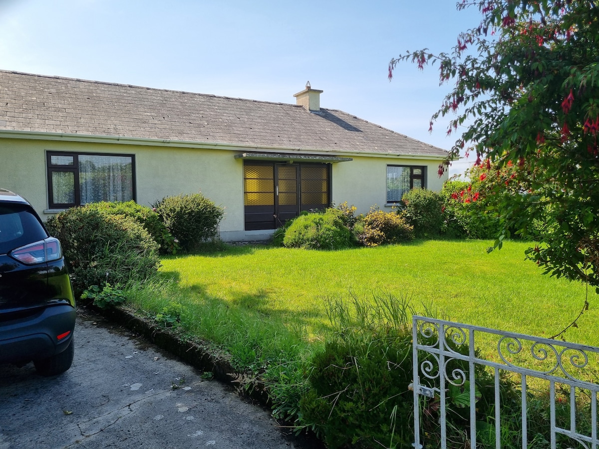 Enclosure in Loghill (connello Lower By.)Enclosure · 1419 yd
 Knockaderry Housecountry house · 1.3 mi
 TobernablahySpring · 2.4 mi
 LaghtpatrickSpring · 2.4 mi
 Castle MatrixCastle, tower house · 2.5 mi
 Limerick GreenwayWalking route · 7.3 mi
 Sugar HillMountain / peak · 8.8 mi
 Ballagh MountainMountain / peak · 9.3 mi
Other information
Photo: Credit not shown in the picture search · Rights wording not checked; contact us if this picture should be removed