What is recorded here
In grassland. Outline of circular-shaped area (approx. diam. 35m) defined by a fosse visible on Digital Globe orthophoto taken 2011-13 and earlier OSi orthophotos.
From the National Monuments Service (Archaeological Survey of Ireland) record LI029-154
The monument record does not grant public access. Check the route and ask the landowner before entering private land.
- What survives
- Recorded monument
Places near here
Photo credits
- Mike Searle, Geograph · CC BY-SA 2.0
- National Inventory of Architectural Heritage
- Willow, Wikimedia Commons · CC BY 2.5
- Garry Dickinson, Geograph · CC BY-SA 2.0
- Created by Kglavin Modified Aug 2007 by Mike Christie, Wikimedia Commons · CC BY-SA 3.0
- A.-K. D., Wikimedia Commons · CC BY-SA 4.0
- Vadim Manuylov, Wikimedia Commons · CC BY-SA 3.0
Enclosure in KnockaderryEnclosure · 812 yd Knockaderry HouseCountry house · 828 ydKnockaderry Hall and LibraryHall · 1539 ydSaint Munchin's Catholic ChurchChurch/chapel · 1542 ydEuropean ash1.4 miGrange HouseHouse · 1.5 miLaghtpatrickSpring · 2.4 miCastle MahonCastle · 3.3 miCastle MatrixCastle, tower house · 3.3 miArdagh FortArchaeological place · 3.9 miSaint Ite's WellSpring · 7.3 miMonterey Cypress12 mi
 Knockaderry HouseCountry house · 828 yd
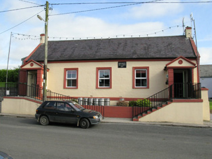 Knockaderry Hall and LibraryHall · 1539 yd
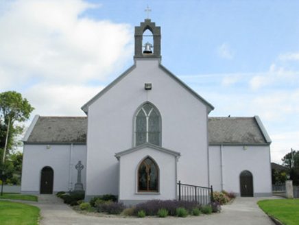 Saint Munchin's Catholic ChurchChurch/chapel · 1542 yd
 European ash1.4 mi
 Grange HouseHouse · 1.5 miLaghtpatrickSpring · 2.4 mi
 Castle MahonCastle · 3.3 mi
 Castle MatrixCastle, tower house · 3.3 mi
 Ardagh FortArchaeological place · 3.9 mi
 Saint Ite's WellSpring · 7.3 mi
 Monterey Cypress12 mi
More archaeology and monuments in County Limerick · All of County Limerick
What do you know about this place?