
What is recorded here
In pasture, on break in N-facing hill slope. Accessed via pathway across field from road to E. Rectangular graveyard (55m N-S; 48m E-W) enclosed by stone wall, with gateway and stile mid-way along E side; enclosing wall not shown on 1841 OS 6-inch map. At centre fragmentary remains of parish church of Kilcolman (LI029-092001-). Ground rises towards centre, except at N end where it dips sharply inside enclosing wall. Marked graves confined to S half of graveyard; earliest noted headstone dated 1817; in 1840 described as 'a large burial ground ... at present much in use' (OSL vol. 2, 62).
Compiled by: Denis Power
Date of upload: 26 August 2011
A local ancient tomb; wider significance not recorded.
The monument record does not grant public access. Check the route and ask the landowner before entering private land.
- What survives
- Recorded monument
Places near here
 post boxpost box · 481 yd
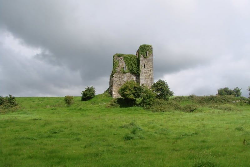 Enclosure in Kilcolman EastEnclosure · 528 yd
 Enclosure in AughalinEnclosure · 872 yd
 LaghtpatrickSpring · 1423 yd
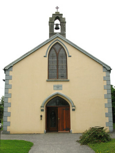 Saint Mary's Catholic Churchchurch/chapel · 1.3 mi
 Lady's WellSpring · 1.4 mi
 European ashEuropean ash · 1.5 mi
 CastleCastle, tower house · 1.6 mi
 Ballynoe Castle (in ruins)Castle, tower house · 2.6 mi
 Famine stoneMemorial · 4.5 mi
 Flat cemetery in CroaghFlat cemetery · 5.2 mi
 Limerick GreenwayWalking route · 9.1 mi
Other information
Photo: Credit not shown in the picture search · Rights wording not checked; contact us if this picture should be removed