What is recorded here
Kilcarty holds a circular rath thirty-five metres across, its earthen bank still tracing a complete ring beside a narrow stream. The site rests on a slight rise above low ground, giving whoever lived there a small advantage when water rose or storms moved through the valley. Its eastern entrance and western break suggest a place made for coming and going, not for display. The fort has lost much of its shape, but it has not stopped marking the land.
Situated on a slight rise in a low-lying position with a small S-N stream c. 130m to the W. The cropmark of a circular enclosure (diam. c. 35m) defined by a single positive or bank-like feature (Wth c. 2-4m) is visible on Google Earth (20/03/2018; 07/05/2017). There is a possible entrance (Wth c. 4m at ENE and a break in the bank (Wth c. 6m) at W. It is probably a rath and was first reported by Jean-Charles Caillére.
Compiled by: Michael Moore
Date of upload: 2 April, 2019
The monument record does not grant public access. Check the route and ask the landowner before entering private land.
- What survives
- Recorded monument
Places near here
 Enclosure in Athronan (deece Lower By.)Enclosure · 1156 yd
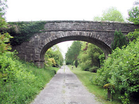 bridgebridge · 1433 yd
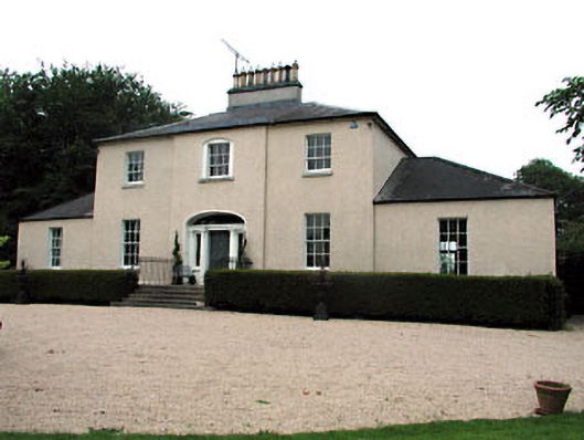 The Old Rectoryrectory/glebe/vicarage/curate's house · 1732 yd
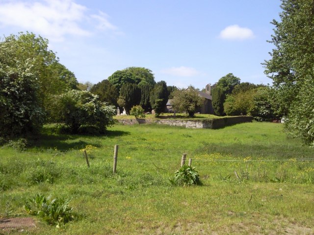 IndicatedGraveyard · 1.1 mi
 Railway Woods (North)Forest · 1.2 mi
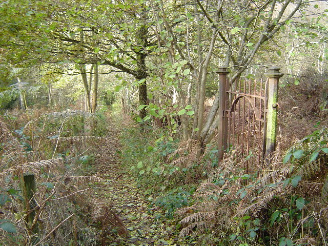 Moore's Hill WoodWood · 1.2 mi
 Dunsany CastleCastle, unclassified · 1.8 mi
 Galtrim MoatCastle, motte · 2.7 mi
 Battle of Tara (Ireland)Major battlefield · 3.2 mi
 Battle of Tara Hillbattle · 3.2 mi
 Saint Patrick'sMemorial · 3.4 mi
 Tara Open StudioGallery · 3.4 mi