What is recorded here
No visible gap remains on the earth rim, yet the missing entrance suggests a hidden doorway rather than a forgotten wall. The fort stands sixty-eight metres wide at the ridge end, large enough for herds, tools and argument, while the fairies keep the border closed. People may have lived inside the grassy circle before becoming legend, but the land still withholds the exact moment they left.
Located at the WSW end of a short ridge. This is a large raised subcircular and grass-covered area (diam. 68m E-W; 62m N-S) defined by a scarp (at NNW: Wth 6m; H 3m; at SSE: Wth 8m; H 4m) E-S-NNE, with a fosse (Wth of top 11.6m; Wth of base 6.5m; int. H D 0.5m; ext. D 0.65m) across the ridge elsewhere. The original entrance is not identified.
The above description is derived from the published 'Archaeological Inventory of County Meath' (Dublin: Stationery Office, 1987). In certain instances the entries have been revised and updated in the light of recent research.
Compiled by: Michael Moore
Date of revision: 4 April 2019
The monument record does not grant public access. Check the route and ask the landowner before entering private land.
- What survives
- Recorded monument
Places near here
 Moat of KilbegCastle, motte and bailey · 666 yd
 The GroveForest · 792 yd
 Fox CovertForest · 924 yd
 Enclosure in Newtown (kells Lower By., Newtown Ed)Enclosure · 1094 yd
 Not indictedEnclosure · 1583 yd
 DeerparkMountain / peak · 1706 yd
 Owenroe and Moynalty DrainageMemorial · 1.0 mi
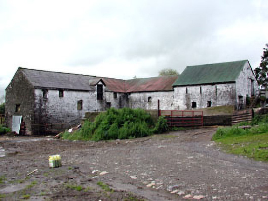 Plubber Housemill (water) · 1.1 mi
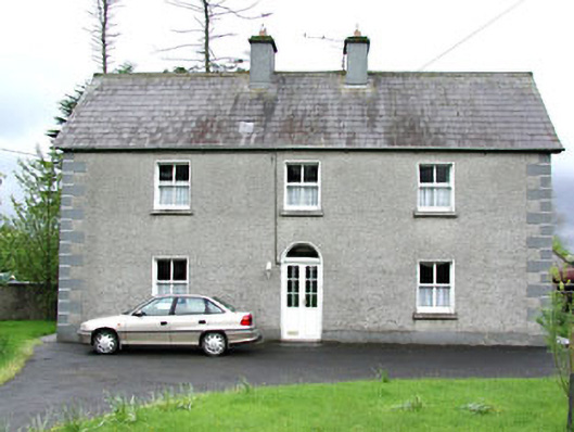 Reask Housefarm house · 1.1 mi
 Gravelstown CastleCastle, unclassified · 1.2 mi
 GravelstownMountain / peak · 1.3 mi
 John Mac MahonMemorial · 1.5 mi