What is recorded here
Fairy fort / earthen ringfort in Kilballyhemikin is a fairy fort or earthen ringfort in Kilballyhemikin, County Tipperary, Ireland. The site occupies a break in a southeast-facing slope above a broad plain. It measures 23 metres north-south and 25 metres east-west, with a flattened 12-metre-wide bank remaining on the north side.
Situated on a break in a SE-facing slope in upland terrain overlooking a broad plain, in undulating pastureland. Site marked as a roughly circular enclosure on 1st (1840) ed. OS 6-inch map but not shown on 2nd (1904) ed. suggesting the site was levelled between 1840 and 1904. Despite being levelled the site is still visible as a raised area (diam. 23m N-S; 25m E-W) with evidence of a broad, flattened bank on N side of site (Wth 12m; int. H 0.4m; ext. H 0.46m). Remains of field boundary visible running NE-SW adjacent to S sector.
The above description is derived from 'The Archaeological Inventory of County Tipperary. Vol. 1 - North Tipperary' compiled by Jean Farrelly and Caimin O'Brien (Dublin: Stationery Office, 2002). In certain instances the entries have been revised and updated in the light of recent research.
Date of upload/revision: 22 September 2008
A fairy fort or earthen ringfort in Kilballyhemikin, likely dating to the early medieval period, is indicated by its circular enclosure recorded on the 1st edition Ordnance Survey map of 1840. The site's location and name suggest a possible connection to local folklore surrounding fairy realms or ancient habitation.
The monument record does not grant public access. Check the route and ask the landowner before entering private land.
- What survives
- Recorded monument
Places near here
 St. Jamess WellHoly well · 1149 yd
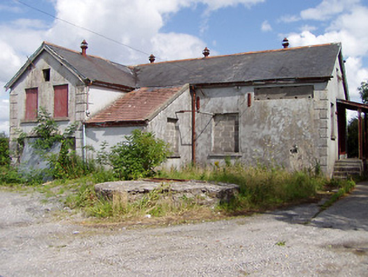 Killea Creamerycreamery · 1187 yd
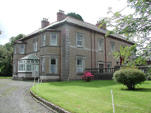 Skehanagh Househouse · 1391 yd
 CastleCastle, ringwork · 1498 yd
 Enclosure in Killea (killea Par.)Enclosure · 1.1 mi
 College HillMountain / peak · 1.3 mi
 Kilduff MountainMountain / peak · 2.0 mi
 Longford WoodForest · 2.5 mi
 BatteryCastle, ringwork · 2.8 mi
 Morris's GroveForest · 3.5 mi
 Thomas MacDonagh Heritage CentreMuseum · 10 mi
 MacDonagh HouseMemorial · 10 mi