What is recorded here
Situated on a slight but prominent natural rise, in gently undulating pasture with good views in all directions. Monument described in 1970s as a much disturbed, roughly circular-shaped area (approx. diam. 29m) enclosed by a bank and external fosse. The bank is visible from NW-N-E-S and is almost reduced to a scarp elsewhere. The bank has been removed from SW-W-NW where there is a large quarry hole that extends through the interior almost to the centre. A slight external fosse is only visible from N-ENE. The entrance is represented by a gap (Wth at top 3.3m; basal Wth 1.1m) and a causeway (Wth at top 2m; overall Wth 4.4m; H 0.3m) at NE. The interior rises towards the centre where there are a pair of conjoined hut sites (WM020-018001-). Monument is visible as an oval-shaped tree-planted earthwork on Digital Globe aerial photography.
Compiled by Alison McQueen, Vera Rahilly and Caimin O’Brien.
Date of upload: 03 July 2019
This remains an important historical record, but the official description says the monument is no longer visible or has been destroyed. The monument record does not grant public access. Check the route and ask the landowner before entering private land.
- What survives
- No visible remains or recorded as destroyed
Places near here
 CastleCastle, tower house · 271 yd
 Bawn in Kerinstown and Balrowan (rowley)Bawn · 292 yd
 Site of ChurchChurch · 1152 yd
 TobermíonadHoly well · 1191 yd
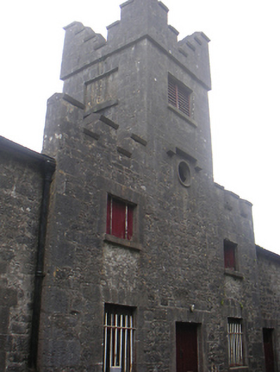 Lisnabin Castlestables, outbuilding · 1584 yd
 RoadRoad, hollow-way · 1.0 mi
 GinkgoGinkgo · 4.1 mi
 ScregganWood · 6.4 mi
 Croppies' GraveMemorial · 8.9 mi
 OutlinedFairy fort / earthen ringfort · 1319 yd
 Enclosure in Porterstown (napper)Enclosure · 1470 yd
 EnclosureEnclosure, large enclosure · 1553 yd