What is recorded here
Fairy fort / earthen ringfort in Kerinstown and Balrowan (rowley) is a fairy fort or earthen ringfort in Kerinstown and Balrowan (rowley), County Westmeath, Ireland. A 1970 description identified it as a roughly circular area 36 metres in diameter enclosed by an earth and stone bank, an intervening fosse, and the remains of an outer bank. The substantial inner bank stands approximately twice as high on the exterior as the interior, while a natural scarp with a relatively modern ledge defines the outer perimeter from southeast to south. A quarry depression is present in the scarp at the southwest, and a large C-shaped quarry hole occupies the northwest quadrant of the interior.
Situated on a slight rise, in gently undulating pasture, with good views in all directions. Monument described in 1970 as a roughly circular-shaped area (diam. 36m) enclosed by an earth and stone bank, an intervening fosse and the remains of an outer bank. The inner bank is substantial and is approximately twice as high on the exterior as the interior. There are traces of a slight intervening fosse and the remains of an outer bank (Wth at top 4.2m; basal Wth 2.5m) visible from W-N-E. A natural scarp, with a relatively modern ledge at the base, defines the outer perimeter from SE-S and gives the impression of a fosse at the base of the scarp from S-W. There is a quarry depression in the scarp at SW. The original entrance (Wth at top 4.4m; basal Wth 2m) is marked by two corresponding gaps and a slight causeway (Wth at top 3m; overall Wth 5.5m; H 0.3m) at N. There is a modern gap in both banks at NW. The interior rises mound-like from the perimeter to the centre. There is a large C-shaped quarry hole in the NW quadrant. Monument is visible as a roughly circular-shaped earthwork on Digital Globe aerial photography.
Compiled by Alison McQueen, Vera Rahilly and Caimin O’Brien.
Date of upload: 08 July 2019
The monument record does not grant public access. Check the route and ask the landowner before entering private land.
- What survives
- Recorded monument
Places near here
 CastleCastle, tower house · 499 yd
 Partially HachuredFairy fort / earthen ringfort · 1438 yd
 EnclosureEnclosure, large enclosure · 1475 yd
 Bawn in Kerinstown and Balrowan (rowley)Bawn · 1577 yd
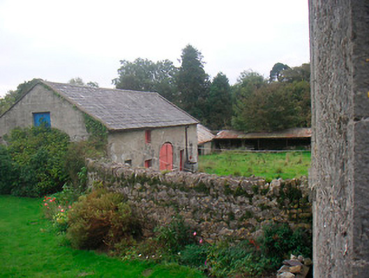 Huntingdon Houseoutbuilding · 1640 yd
 Water millWater mill, horizontal-wheeled · 1.0 mi
 GinkgoGinkgo · 3.9 mi
 ScregganWood · 6.9 mi
 Croppies' GraveMemorial · 9.7 mi
 Site of ChurchChurch · 1490 yd
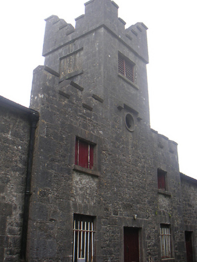 Lisnabin Castlestables, outbuilding · 1.1 mi
 RoadRoad, hollow-way · 1.3 mi