What is recorded here
Keelderry holds a forty-two-metre earthen ring where human Ingenuity and fairy cunning both claim credit. The low bank still stands beside a modern drain, marking a boundary between worlds as much as fields. A deep watering hole waits at the western foot, offering drink to anyone brave or foolish enough to approach. The entrance has vanished, suggesting the fort keeps its own doors closed until it chooses to reveal them.
Raised circular area (int. diam. c. 42m) enclosed by a low earthen bank. From ENE-S-WNW bank has been incorporated into the field boundary and is accompanied by a modern external drain. Deep watering-hole at the outer foot of the scarp at WNW. Original entrance not recognisable.
The above description is derived from the published 'Archaeological Inventory of County Cavan' (Dublin: Stationery Office, 1995). In certain instances the entries have been revised and updated in the light of recent research.
Date of upload/revision: 22 December 2008
The monument record does not grant public access. Check the route and ask the landowner before entering private land.
- What survives
- Recorded monument
Places near here
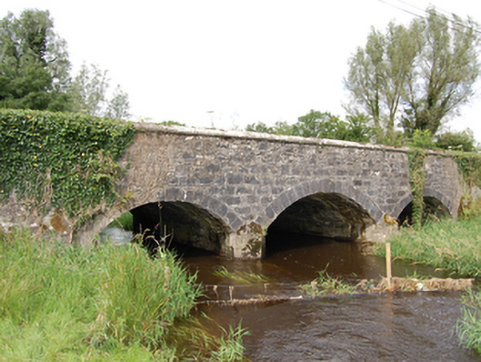 Derrin Bridgebridge · 1566 yd
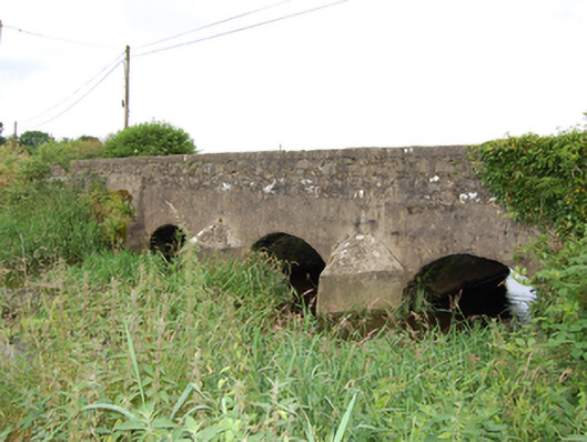 bridgebridge · 1.3 mi
 Cross in KillCross · 1.6 mi
 DrumbrucklisMountain / peak · 1.7 mi
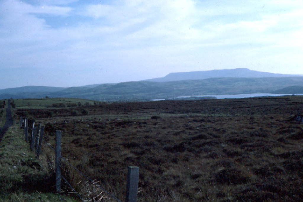 IndicatedFairy fort / earthen ringfort · 1.8 mi
 Deer ParkWood · 2.5 mi
 Giant's GraveArchaeological place · 2.5 mi
 BroomhillWood · 2.6 mi
 Aghakilmore LowerMountain / peak · 2.7 mi
 Bawn in DuffcastleBawn · 3.9 mi
 IdicatedCastle, unclassified · 4.4 mi
 Crane IslandIslet · 4.8 mi