What is recorded here
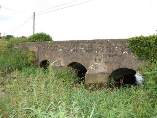
Triple-arch limestone road bridge, built c.1800, over River Erne, altered c.1970. Cement rendered spandrels and abutments having V-cutwater with pyramidal caps to upstream elevation. Segmental arches and rubble stone barrel. Rubble stone parapet having cement render to angled coping. Rubble limestone wing walls partly rebuilt to west wall of southern side of bridge.
A road bridge built in robust stone masonry, articulated by V-cutwaters. The bridge has been repaired with cement render which conceals stone features of the three arches. The bridge is of significance as a physical record of development of the the road network in Ireland in the late eighteenth and early nineteenth centuries and makes an important contribution to the architectural character of the landscape setting.
From the Buildings of Ireland (National Inventory of Architectural Heritage) record 40403115
This does not grant access. Most recorded buildings are privately owned; view them only from public ground unless the owner allows entry.
Places near here
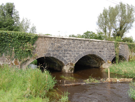 Derrin BridgeBridge · 737 ydGiant's GraveArchaeological place · 1.3 mi
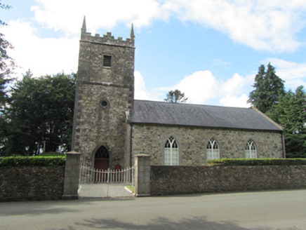 St Patrick’s Church KildrumfertonChurch/chapel · 2.0 mi
 Portal tomb in CarrickacroyPortal tomb · 2.1 miArdkill MoreMountain / peak · 2.2 miArdkill ForestForest · 2.2 miDeer ParkWood · 2.5 mi
 Portal tomb in DuffcastlePortal tomb · 2.8 miAghakilmore LowerMountain / peak · 2.9 miBawn in DuffcastleBawn · 2.9 miCarricknagore RockNamed rock · 4.3 miCastleCastle, motte · 4.5 mi
Pictures: National Inventory of Architectural Heritage; Wanfried-Dublin, Wikimedia Commons · CC BY-SA 4.0
More historic places in County Cavan · All of County Cavan
What do you know about this place?