What is recorded here
Fairy fort / earthen ringfort in Jossestown is a fairy fort or earthen ringfort in Jossestown, County Tipperary, Ireland. It occupies a sub-circular area 30 metres north-south and 25 metres east-west on a west-facing pasture slope. An eroded inner scarp reaches 2.35 metres high and 4.25 metres wide along its south-southwest through west to north-northeast arc. A shallow external ditch runs alongside that same arc, reaching 1.2 metres deep at the northwest and 0.4 metres at the west.
In pasture, on a W-facing slope. Sub-circular area (map dims. 30m N-S; 25m E-W) defined by inner scarp (max. Wth 4.25m; max. H 2.35m) SSW-W-NNE which is eroded. Limekiln abutting scarp at SSW. Area of scarp (dims. 13m N-S; 8m E-W) removed to W of limekiln. Breach (dims. 3.5m N-S; 6m E-W) in scarp at NNW is location of former limekiln depicted on 1843 OS 6-inch map. External fosse (basal Wth 1.5-2m; overall Wth 7-8m) SSW-W-NNE is shallow (D 0.4m) at W and deep (D 1.2m) at NW. Fosse disturbed in area of limekiln at SSW. Causewayed entrance (Wth 3.5m) at N. Interior impenetrable due to dense overgrowth. Enclosure (TS070-092----) located 150m to NW.
Compiled by: Jean Farrelly
Date of upload: 26 August 2011
The monument record does not grant public access. Check the route and ask the landowner before entering private land.
- What survives
- Recorded monument
Places near here
 Enclosure in Jossestown,killerk NorthEnclosure · 166 yd
 (Site of) Killerk CastleCastle, unclassified · 629 yd
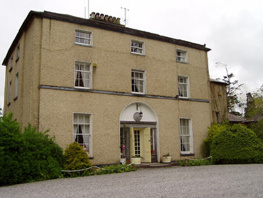 Clonacody Housecountry house · 723 yd
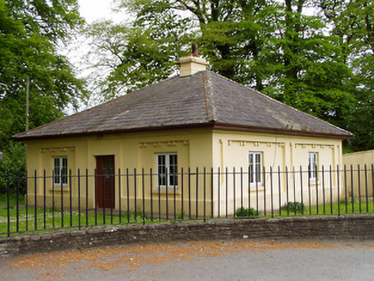 Lakefieldgate lodge · 907 yd
 Pedunculate OakPedunculate Oak · 1159 yd
 Enclosure in BaptistgrangeEnclosure · 1588 yd
 Rathdrum Castle (in ruins)Castle, tower house · 1726 yd
 Grove WoodForest · 1.3 mi
 East GateMemorial · 2.0 mi
 Kilknockan HillMountain / peak · 3.2 mi
 CarrigdotiaMountain / peak · 4.6 mi
 Newtown Househouse · 1266 yd