What is recorded here
Fairy fort in Isaacstown, County Meath: a 38.5 m circular rath on a small hillock, its earthen bank worn to a scarp and marked by a southern entrance, an outer ditch, and a rectangular inner feature. The name suggests people once placed it outside ordinary human life, yet the shape is plainly made: soil lifted, boundary drawn, space set apart. A quarry trench has cut through part of the circle, reducing the old line to a broken answer instead of a complete chamber.
Located on a small hillock in a gently undulating landscape. This is a raised, circular, grass and scrub-covered area (diam. 38.5m N-S; 38.5m E-W) defined by an earthen bank largely reduced to a scarp (Wth 5.5-6m; H 1.9-2.1m), with an outer fosse (Wth of top 9m; ext. D 0.2m) S-NW. There is a slight outer bank (at WSW: Wth 6m; ext. H 0.3m) S-W-NE that morphs into a field bank (at ENE: Wth of base 5.5m; int. H 0.6m; ext. H 0.9m) with an outer drain (Wth of base 1.5m; ext. D 0.3m) NE-ESE. The original entrance (Wth of base 4.7m) is just E of S. An old grass-covered quarry trench (Wth 3-3.5m; D 1-1.2m) with no spoil mound cuts off the SE quadrant, cutting through the defining scarp at E and S. At the centre of the rath is a large rectangular grass-covered area (int. dims 12m E-W; 5.7m N-S) defined by a wide bank (Wth 3m; H 0.3m) or scarp (Wth 6-8m; H 1.2m) that has an entrance (Wth 1.7m) towards the E end of the S side. Archaeological testing (10E0372) by C. Duffy c. 100m to the NNW produced no related material (excavations.ie 2010:521).
The above description is derived from the published 'Archaeological Inventory of County Meath' (Dublin: Stationery Office, 1987). In certain instances the entries have been revised and updated in the light of recent research.
Compiled by: Michael Moore
Date of revision: 12 August 2019
Amended: 16 March 2021, 24 March 2023
The monument record does not grant public access. Check the route and ask the landowner before entering private land.
- What survives
- Recorded monument
Places near here
 IndicatedFairy fort / earthen ringfort · 1462 yd
 Church of Saint Michael and All Angels (Rathmolyon)church/chapel · 1485 yd
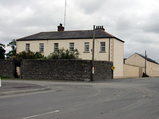 Rathmolyon Househouse · 1547 yd
 Wych ElmWych Elm · 1.2 mi
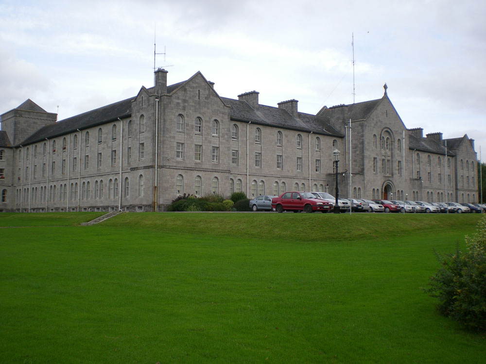 Concentric enclosure in DanganConcentric enclosure · 1.6 mi
 European ashEuropean ash · 1.9 mi
 Dangan CastleCastle, tower house · 2.0 mi
 CastleCastle, unclassified · 2.3 mi
 Old Bog Road made famous by Teresa Bryton 1868-1943Memorial · 4.3 mi
 Cloncurry GraveyardHeritage attraction · 4.6 mi
 Kilgar GardensHeritage attraction · 4.8 mi
 Mass was there in Penal TimesMemorial · 8.1 mi