What is recorded here
Fairy fort in Inch St. Lawrence is a compact earthen ring, twenty metres long and thirteen and a half wide, set in damp pasture beside a stream. Its scarp and fosse form an uneven oval with two broad dips, while the interior slopes gently eastward. People may have lived there, marked boundaries, or simply avoided the place because local story called it fairy-owned. The land still holds that much more life than measurement, and the field behaves as if remembering the difference.
Situated immediately E of a field boundary and S of a stream in poorly drained undulating pasture with good views to N, E and S. Sub-oval area (20m N-S; 13.5m E-W) defined by a scarp (Wth. 2.9m; H 0.7m) and enclosed by a fosse (Wth. 2.4m; D 0.3m) from NE to SE, and by a stream from N to NE. There is a dip in the scarp in the ENE (Wth. 3.7m) and in the SSW (Wth. 3.5m). The interior is even and slopes down to E.
The monument record does not grant public access. Check the route and ask the landowner before entering private land.
- What survives
- Recorded monument
Places near here
 Wych ElmWych Elm · 431 yd
 Ludden Church (in ruins)Church · 570 yd
 Greenan CastleCastle · 635 yd
 Enclosure in SkahardEnclosure · 1188 yd
 Site of Killanoher Burial Gd.Children's burial ground · 1420 yd
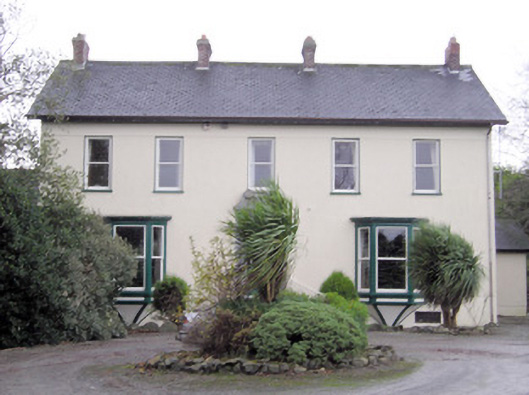 Ballymacreese Househouse · 1424 yd
 St Lawrence's WellSpring · 1471 yd
 Bawn in Ludden MoreBawn · 1.1 mi
 Graveyard in AbingtonGraveyard · 4.8 mi
 St. Patrick's WellSpring · 7.1 mi
 KnockseefinMountain / peak · 7.1 mi
 Kilteely HillMountain / peak · 7.3 mi