What is recorded here
Situated on a slight rise, in relatively low lying tillage. Annotated 'Fort' on the 1837 OS Fair Plan map and depicted as a small circular-shaped earthwork. Levelled monument described in 1971 as an oval-shaped rise (dims. 38m NNE-SSW; 30.5m ESE-WNW) with no definite traces of artificial features. The monument and the field around it has been ploughed and planted with corn. Levelled monument visible today on Digital Globe aerial photography as an oval-shaped cropmark (dims. 19.5m NNE-SSW; 17m ESE-WNW) defined by a narrow dark-green band of differential growth which probably represents a backfilled fosse.
Compiled by Alison McQueen, Vera Rahilly and Caimin O’Brien.
Date of upload: 06 November 2019
The monument record does not grant public access. Check the route and ask the landowner before entering private land.
- What survives
- Recorded monument
Places near here
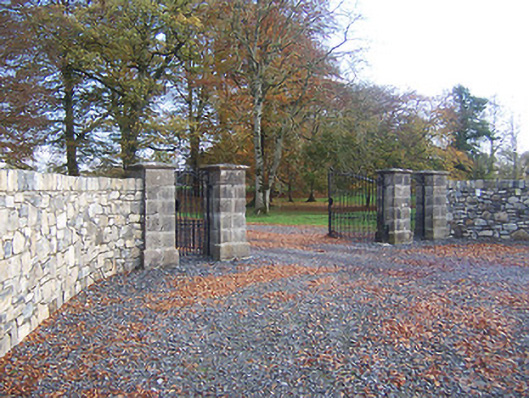 Hyde Parkdemesne walls/gates/railings · 363 yd
 bridgebridge · 425 yd
 CastleCastle, ringwork · 977 yd
 Enclosure in AnnaskinnanEnclosure · 1664 yd
 IndicatedFairy fort / earthen ringfort · 1.4 mi
 Rathwire Moat & CastleCastle, motte and bailey · 1.8 mi
 ScregganWood · 4.4 mi
 Abandoned Kinnegad CanalWood · 4.6 mi
 Croppies' GraveMemorial · 6.1 mi
 D'Arcy's Bridgebridge · 633 yd
 Wardenstown Housecountry house · 1435 yd
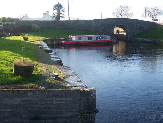 harbour/dock/portharbour/dock/port · 1553 yd