What is recorded here
Situated on a low hillock with occasional rock outcrop in undulating grassland, with good views all around. Possible castle site (WM013-062---) lies 50m to E, a series of linear earthworks possibly represent a field system are visible to E and SE on aerial photographs. Present remains consist of a raised circular shaped area (approx. diam. 35m N-S; 32m E-W) enclosed by a well preserved earthen bank and slight external visible from N-SSE only. There is an entrance gap (Wth 2.1m) at NE. The interior rises towards a level area at centre. This earthwork could be the remains of an Anglo-Norman ringwork with associated field system.
See attached profile of monument surveyed and drawn by the ASI.
Compiled by: Frank Coyne and Caimin O'Brien
Date of upload: 24 July 2018
The monument record does not grant public access. Check the route and ask the landowner before entering private land.
- What survives
- Recorded monument
Places near here
 CastleCastle, unclassified · 128 yd
 Tober LuibeHoly well · 667 yd
 Castle in ruinsCastle, unclassified · 782 yd
 Enclosure in BallygillinEnclosure · 874 yd
 Church in DardistownChurch · 941 yd
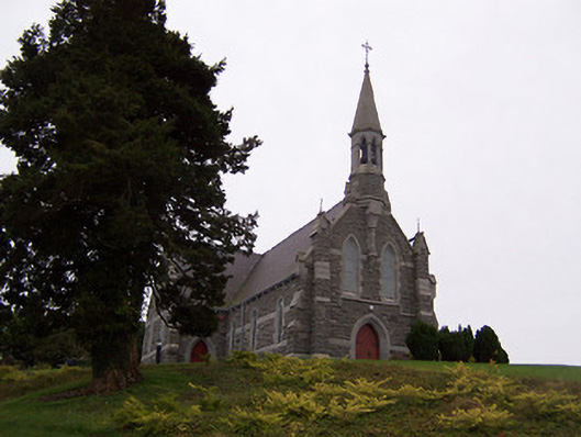 Saint Livinius's Catholic Churchchurch/chapel · 1164 yd
 GinkgoGinkgo · 1.0 mi
 The FurzeForest · 5.0 mi
 Kells HillMountain / peak · 7.6 mi
 Seafin HillMountain / peak · 8.4 mi
 Croppies' GraveMemorial · 11 mi
 Bawn in Williamstown (briscoe)Bawn · 822 yd