What is recorded here
Grenagh North holds a forty-three metre earthen ring on a north-facing slope, its high bank still standing though local people call it a fairy fort. The earthwork has been absorbed into a working field fence, with stones facing parts of the curve, suggesting human hands kept shaping long after first building. Whether it excluded people or marked a home, the circle still divides the pasture and invites imagination about what lived inside.
In pasture, on N-facing slope. Circular area (c. 43m NE-SW) defined by earthen bank (max. H 1.95m) NNE->SW. Bank incorporated into field fence system; stone-faced in parts.
The above description is derived from the published 'Archaeological Inventory of County Cork. Volume 3: Mid Cork' (Dublin: Stationery Office, 1997). In certain instances the entries have been revised and updated in the light of recent research.
Date of upload/revision: 14 January 2009
The monument record does not grant public access. Check the route and ask the landowner before entering private land.
- What survives
- Recorded monument
Places near here
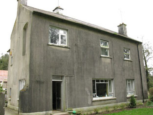 Davis Castlehouse · 855 yd
 Grave YdGraveyard · 1171 yd
 EnclosureEnclosure, large enclosure · 1298 yd
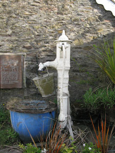 water pumpwater pump · 1432 yd
 Lyradane MountainMountain / peak · 1.4 mi
 Castle (Site of)Castle, Anglo-Norman masonry castle · 1.4 mi
 Rock HillMountain / peak · 1.7 mi
 Pairc Ath Na hEornaMemorial · 2.4 mi
 Graveyard in KilmonaGraveyard · 3.0 mi
 Ballyvodane Castle (in Ruins)Castle, unclassified · 3.1 mi
 St John's WellSpring · 4.2 mi
 New TipperaryVisitor information · 4.6 mi