What is recorded here
Situated on a low rise, in undulating pasture, good views in all directions, albeit overlooked by a small ridge at N. Grange More House (now in ruins) lies c. 260m to SE. Monument described in 1980 as a roughly circular-shaped area (diam. 36m) enclosed by a bank, an intervening fosse and an outer bank. The inner bank is reduced to a moderate scarp from ENE-E-S-W-NW and as a very low scarp from NW-N, being almost levelled from N-E-ENE. There is a modern gap at NNE but there is no sign of an original entrance. A wide and shallow intervening fosse is visible from S-W-NW. The outer bank of earth and stone is present from SSW-W-NNW, where it is quite low. There is a gap at W but this appears to be relatively modern. The interior has an irregular SSW-facing slope and is featureless. NW-W-S. Monument is visible today as a roughly circular-shaped, partially tree-lined earthwork on Digital Globe aerial photography.
Compiled by: Alison McQueen, Vera Rahilly and Caimin O’Brien
Date of upload: 09 July 2019
The monument record does not grant public access. Check the route and ask the landowner before entering private land.
- What survives
- Recorded monument
Places near here
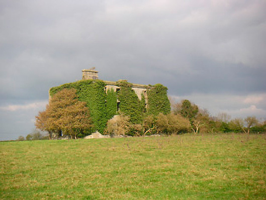 Grange More Housecountry house · 307 yd
 Craddenstown Lodgehouse · 898 yd
 Enclosure in Joristown LowerEnclosure · 1377 yd
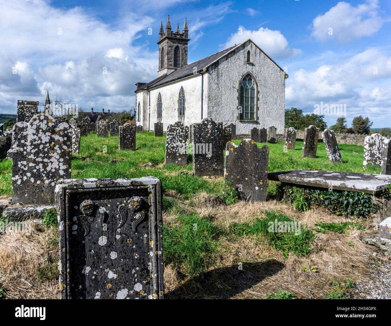 St. Patricks or Scardan WellHoly well · 1.9 mi
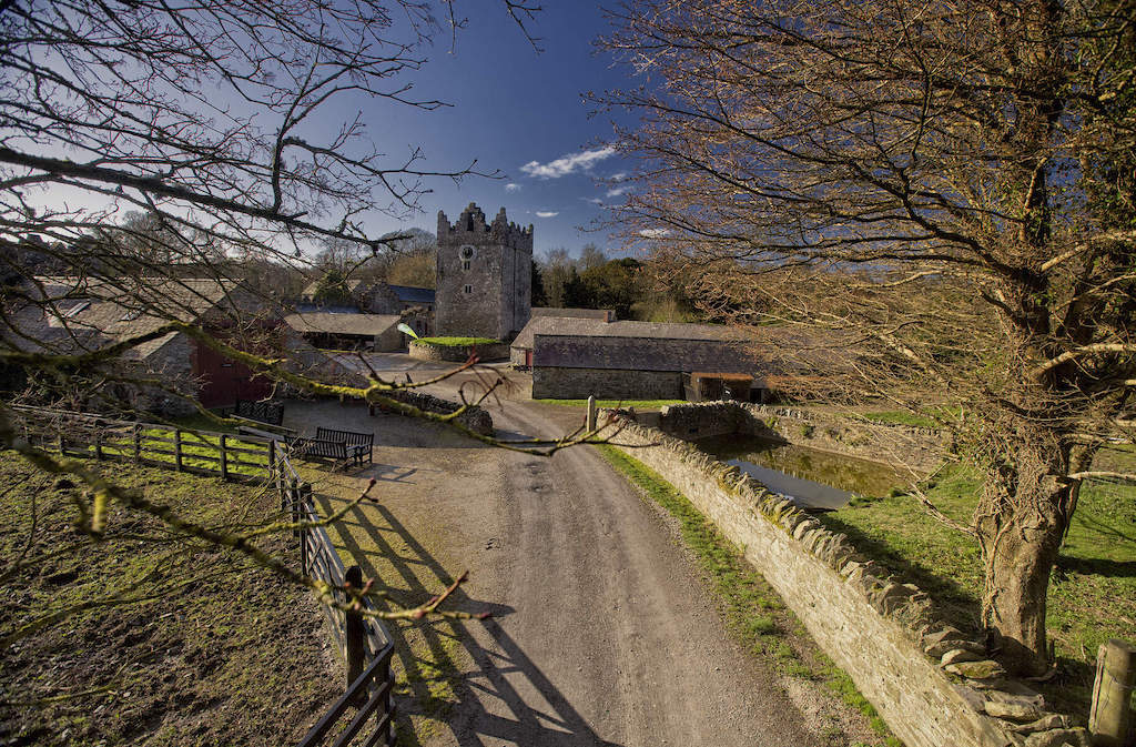 CastleCastle, unclassified · 2.0 mi
 ScregganWood · 2.2 mi
 Killagh Ho. & CastleCastle, tower house · 2.7 mi
 GinkgoGinkgo · 4.1 mi
 Croppies' GraveMemorial · 7.6 mi
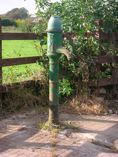 water pumpwater pump · 1301 yd
 IndicatedBuilding · 1333 yd
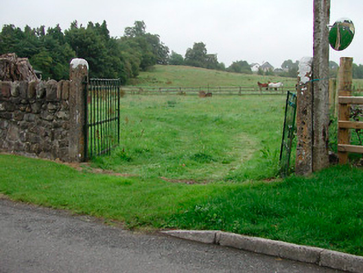 gates/railings/wallsgates/railings/walls · 1647 yd