What is recorded here
Located on a plateau with the S-N ravine of Curraghteskin stream c. 200m to the W. Circular grass-covered area (diam. 50m E-W; 47m N-S) defined by a stone-revetted scarp (H 1.2-1.4m) SSE-N and a low earthen bank (Wth 2m; H 0.6m) elsewhere. The entrance cannot be identified, and there is no visible fosse. Earthwork (WA005-024----) is c. 120m to the W.
The above description is derived from the published 'Archaeological Inventory of County Waterford' (Dublin: Stationery Office, 1999). In certain instances the entries have been revised and updated in the light of recent research.
Date of upload/revision: 23 December 2008
The monument record does not grant public access. Check the route and ask the landowner before entering private land.
- What survives
- Recorded monument
Places near here
 Grave YardGraveyard · 406 yd
 Mine in KnockatrellaneMine · 505 yd
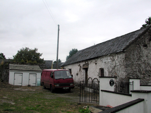 Shandarrick Cottageoutbuilding · 739 yd
 Site of CastleCastle, unclassified · 816 yd
 Fulacht fia in KnockatrellaneFulacht fia · 849 yd
 Laeka WoodWood · 1.1 mi
 Pigeon HillMountain / peak · 1.2 mi
 KnockeenMountain / peak · 1.9 mi
 Curraghcloney CastleCastle · 2.3 mi
 Turraphuca WoodForest · 2.3 mi
 Carey's Castle WoodsVisitor information · 4.6 mi