What is recorded here
Three earthen banks and intermediate fosses enclose a raised circular area about twenty-six metres across in Gortskeagh, County Cavan. The southern entrance still shows corresponding breaks and causeways, but vegetation now smothers most of the structure. People may have lived, hidden or worshipped inside those banks before fields and forgetting took them back.
Raised circular area (int. diam. c. 26m) enclosed by three earthen banks with intermediate fosses. Outer bank identifiable only for a short stretch on either side of the entrance feature at S. It is accompanied by a berm on its external face. The intermediate bank has been levelled from SE-N-NE and elsewhere incorporated into the field boundary. Outer fosse not identifiable from NE-E-SE. Corresponding breaks in the banks with accompanying causeways at S represents original entrance. Densely overgrown with vegetation.
The above description is derived from the published 'Archaeological Inventory of County Cavan' (Dublin: Stationery Office, 1995). In certain instances the entries have been revised and updated in the light of recent research.
Date of upload/revision: 22 December 2008
The monument record does not grant public access. Check the route and ask the landowner before entering private land.
- What survives
- Recorded monument
Places near here
 Church in KilmacnoranChurch · 766 yd
 CastleCastle, unclassified · 995 yd
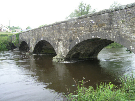 Ballynallon Bridgebridge · 1528 yd
 CorgarveMountain / peak · 1.3 mi
 Drumcarn Ho.Castle, unclassified · 1.5 mi
 ArdamaghMountain / peak · 1.7 mi
 IndicatedFairy fort / earthen ringfort · 1.8 mi
 Ceremonial enclosure in NeddaiaghCeremonial enclosure · 2.1 mi
 Garden IsleIslet · 2.1 mi
 Castleterra ForestForest · 2.2 mi
 Giant's GraveArchaeological place · 2.4 mi
 Agroforestry plotForest · 2.4 mi