What is recorded here
Fairy fort in Gortnascreeny, County Cork: a 33m earthen ring on a sun-warmed knoll, its south entrance marked by a ramp beside the bank. People may have lived there, herded there, or refused to go near it after dark; the ground keeps both possibilities alive.
In pasture, atop knoll, on S-facing slope of NE-SW ridge. Roughly circular area (33m N-S; 31m E-W) enclosed by earthen bank (max. H 1.8m) E->W; scarp elsewhere. Entrance to S, approached by a ramp-like feature running parallel to outside bank. Interior slopes down to S.
The above description is derived from the published 'Archaeological Inventory of County Cork. Volume 1: West Cork' (Dublin: Stationery Office, 1992). In certain instances the entries have been revised and updated in the light of recent research.
Date of upload/revision: 14 January 2009
The monument record does not grant public access. Check the route and ask the landowner before entering private land.
- What survives
- Recorded monument
Places near here
 Dromore Schoolschool · 1257 yd
 Wedge tomb in Kealanine (carbery W. (w.d) By.)Wedge tomb · 1265 yd
 Enclosure in Dromore (carbery W. (w.d.) By.)Enclosure · 1289 yd
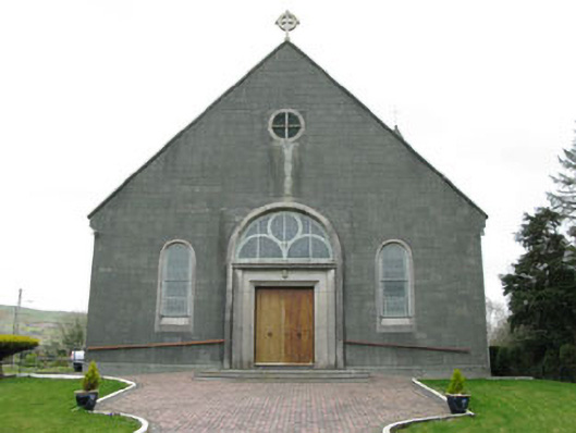 St. Joseph's Roman Catholic Churchchurch/chapel · 1584 yd
 Francis O'Neill PlaqueMemorial · 1.5 mi
 Baugorm Castle (Site of)Castle, unclassified · 2.4 mi
 Trawlebane WalkWalking route · 2.5 mi
 Moyny Bridge WalkWalking route · 3.1 mi
 Mullach MéiseMountain / peak · 3.1 mi
 Castle DonovanCastle · 3.1 mi
 Seskin ViewViewpoint · 4.3 mi
 Mount KidMountain / peak · 4.4 mi