What is recorded here
Fairy fort / earthen ringfort in Gortnagowna (Killavinoge parish) is a fairy fort or earthen ringfort in Gortnagowna (Killavinoge parish), County Tipperary, Ireland. It occupies pastureland on a natural hillock above a boggy valley to the west. A raised area 0.73 metres high marks the site, which stretches about 29 metres from northwest to southeast.
Situated in pastureland on a natural hillock on a gradual W-facing slope overlooking a boggy valley floor to the W. Depicted as an oval enclosure on the 1st ed. (1840) OS 6-inch map and as a hachured enclosure on the latest ed. (1904) though the E quadrant is not shown. Although the site has been levelled a raised area (H 0.73m) outlines the extent of the site (c. 29m NW-SE) and there is a suggestion of an outer fosse (Wth c. 4m) at S and W. The N sector appears to have been quarried.
The above description is derived from 'The Archaeological Inventory of County Tipperary. Vol. 1 - North Tipperary' compiled by Jean Farrelly and Caimin O'Brien (Dublin: Stationery Office, 2002). In certain instances the entries have been revised and updated in the light of recent research.
Date of upload/revision: 22 September 2008
The monument record does not grant public access. Check the route and ask the landowner before entering private land.
- What survives
- Recorded monument
Places near here
 EnclosureEnclosure, large enclosure · 1038 yd
 Castle (in ruins)House, fortified house · 1691 yd
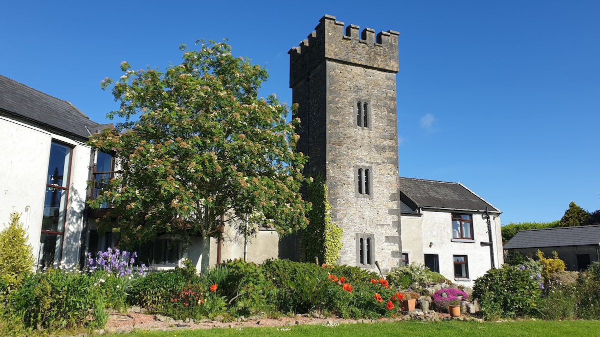 Enclosure in ClonakennyEnclosure · 1.1 mi
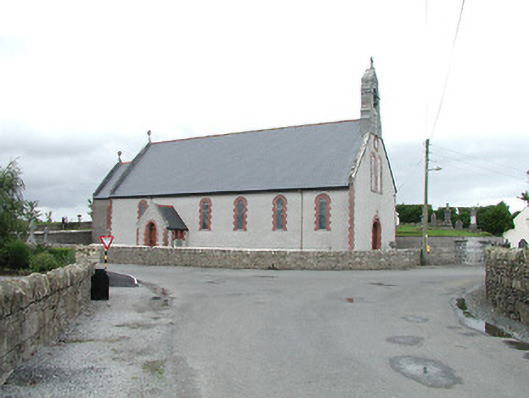 Saint Brigid's Catholic Churchchurch/chapel · 1.1 mi
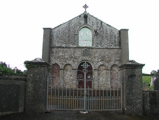 Saint Patrick's Catholic Chapelchurch/chapel · 1.4 mi
 Longford WoodForest · 2.4 mi
 OutlinedCastle, Anglo-Norman masonry castle · 2.7 mi
 Black HillMountain / peak · 2.9 mi
 College HillMountain / peak · 3.3 mi
 Carricknasrock WoodWood · 3.4 mi
 Thomas MacDonagh Heritage CentreMuseum · 11 mi
 MacDonagh HouseMemorial · 11 mi