
What is recorded here
A large roughly square enclosure (diam. 130m NE-SW and NW-SE) with rounded corners, though the on S side the perimeter forms a short straight side, in grassland. It is visible on Google Earth (imagery date: 18 January 2018) (https://earth.google.com/web/@52.88108984,-7.81071924,123.48192002a,696.79020918d,35y,0h,0t,0r/data=ChYaFAoML2cvMTE5dzZ0NTN5GAEgASgC), identified and reported by Jean-Charles Caillère. It is defined by a slight earthen bank, most pronounced from N-E-S. The SE side appears to have been incorporated in a trackway or field boundary which is depicted on the 2nd ed OS 6-inch map, and continues to run SW of the enclosure.
Compiled by: Jean Farrelly
Date of upload: 2 April 2019
A local fairy fort (ringfort/rath); wider significance not recorded.
The monument record does not grant public access. Check the route and ask the landowner before entering private land.
- What survives
- Recorded monument
Places near here
 Castle (in ruins)House, fortified house · 1734 yd
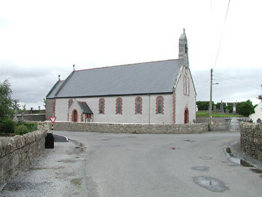 Saint Brigid's Catholic Churchchurch/chapel · 1.0 mi
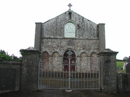 Saint Patrick's Catholic Chapelchurch/chapel · 1.2 mi
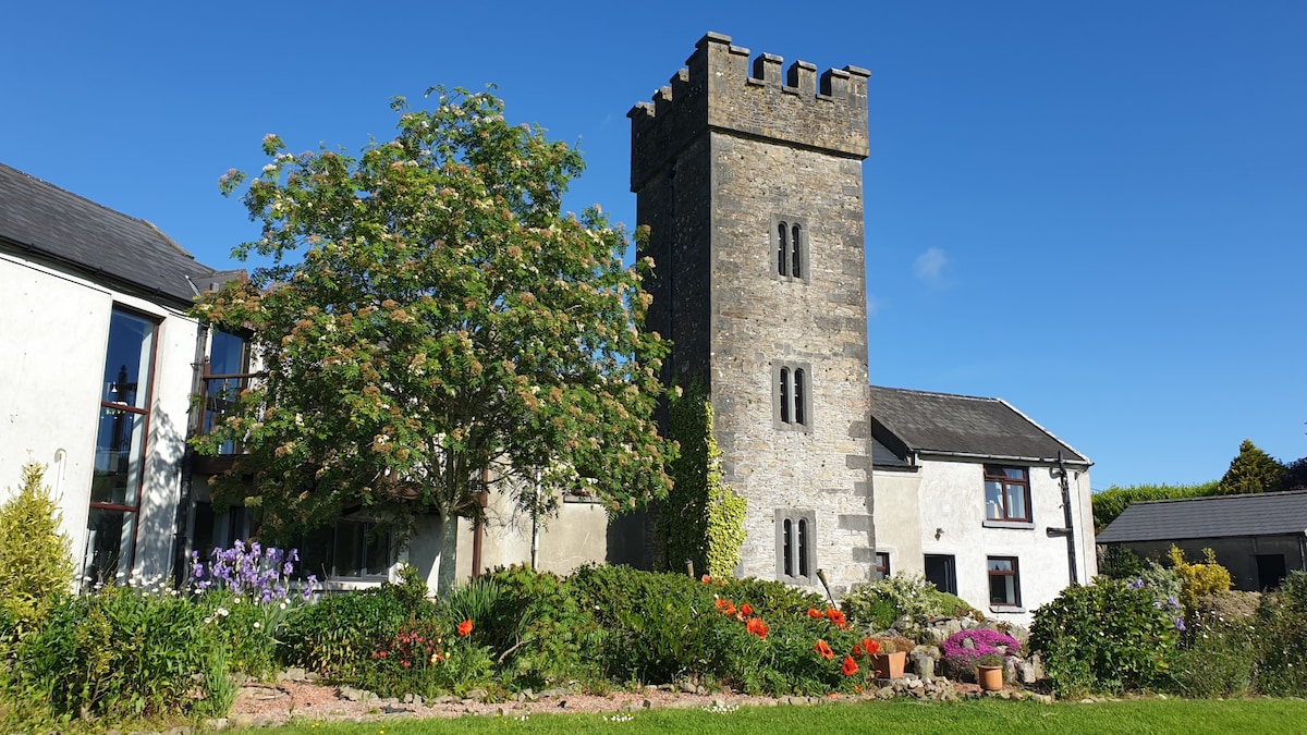 Enclosure in ClonakennyEnclosure · 1.2 mi
 IndicatedEnclosure, large enclosure · 1.4 mi
 OutlinedCastle, Anglo-Norman masonry castle · 2.2 mi
 Longford WoodForest · 2.3 mi
 Black HillMountain / peak · 2.7 mi
 Carricknasrock WoodWood · 3.2 mi
 College HillMountain / peak · 3.8 mi
 Roscrea Petty Sessions HouseHeritage attraction · 5.0 mi
 Thomas MacDonagh Heritage CentreMuseum · 11 mi
Other information
Photo: Credit not shown in the picture search · Rights wording not checked; contact us if this picture should be removed