What is recorded here
Half a forgotten ringfort in Gortmore, County Cork, still stands inside a private field, its shallow earthen edge marking what ploughs and fences removed. The other half has vanished into ordinary farmland, perhaps scraped flat by people who never knew they were erasing a chamber old enough to predate written memory. What remains is a thin ribbon of soil, neither monument nor myth, but a boundary between remembering and forgetting.
Bowman (1934, 234) records fort (diam. c. 37yd), divided into two equal parts by boundary fence, with half in P. O'Neill's levelled and other half in M. O'Sullivan's enclosed by rampart c. 2ft H. Exact location not known.
The above description is derived from the published 'Archaeological Inventory of County Cork. Volume 4: North Cork' (Dublin: Stationery Office, 2000). In certain instances the entries have been revised and updated in the light of recent research.
Date of upload/revision: 14 January 2009
The monument record does not grant public access. Check the route and ask the landowner before entering private land.
- What survives
- Recorded monument
Places near here
 Burial ground in GortmoreBurial ground · 932 yd
 Gurteenkreen Castle (Site of)Castle, unclassified · 1023 yd
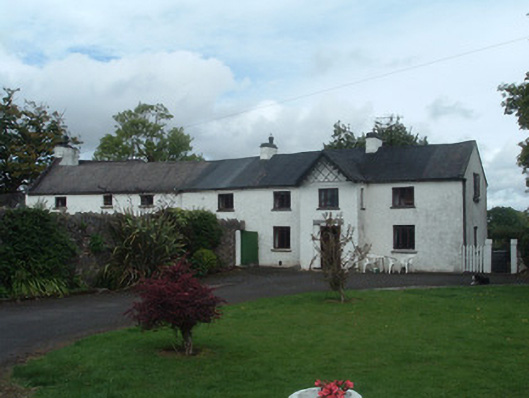 Gortmore Housecountry house · 1347 yd
 LisnapasteeBurial ground · 1717 yd
 IndicatedHouse, vernacular house · 1.1 mi
 Mount HillaryMountain / peak · 1.2 mi
 Mount Hillary - Knightfield LoopWalking route · 1.4 mi
 Mount Hillary - Mount Hillary LoopWalking route · 1.6 mi
 CastleCastle, unclassified · 2.2 mi
 St Fursey's WellSpring · 2.4 mi
 European YewEuropean Yew · 3.6 mi
 Burial ground in AssolasBurial ground · 3.7 mi