
What is recorded here
Half a hectare of dead grass and a shallow hollow mark the Gortmore famine burial ground. The earthen bank that once enclosed the site has vanished, leaving only a subrectangular depression in the pasture slope. Bodies from the starving years may still lie beneath the grass, forgotten by the living but remembered in the shape of the land.
Indicated on 1842 OS 6-inch map as subrectangular field (c. 35m NW-SE; c. 22m NE-SW) with structure in NW half; depicted as smaller field (c. 28m NW-SE; c. 25m NE-SW) on 1905 and 1936 OS 6-inch maps. In pasture, on NE-facing slope. Subrectangular hollow (12m NE-SW; 10m NW-SE) marks site. According to local information, earthen bank enclosing site removed 'a number of years ago'. Known locally as famine burial ground. According to Bowman (1934, 235), church site which had 'been ploughed many times.'
The above description is derived from the published 'Archaeological Inventory of County Cork. Volume 4: North Cork' (Dublin: Stationery Office, 2000). In certain instances the entries have been revised and updated in the light of recent research.
Date of upload/revision: 14 January 2009
The monument record does not grant public access. Check the route and ask the landowner before entering private land.
- What survives
- Recorded monument
Places near here
 IndicatedKiln, lime · 602 yd
 Enclosure in Creggane (duhallow By.),gortavoherEnclosure · 983 yd
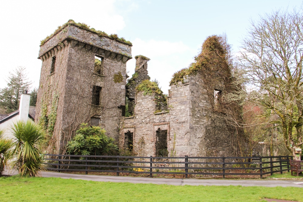 Moneys Castle (Site of)Cairn, unclassified · 1615 yd
 Gurteenkreen Castle (Site of)Castle, unclassified · 1.0 mi
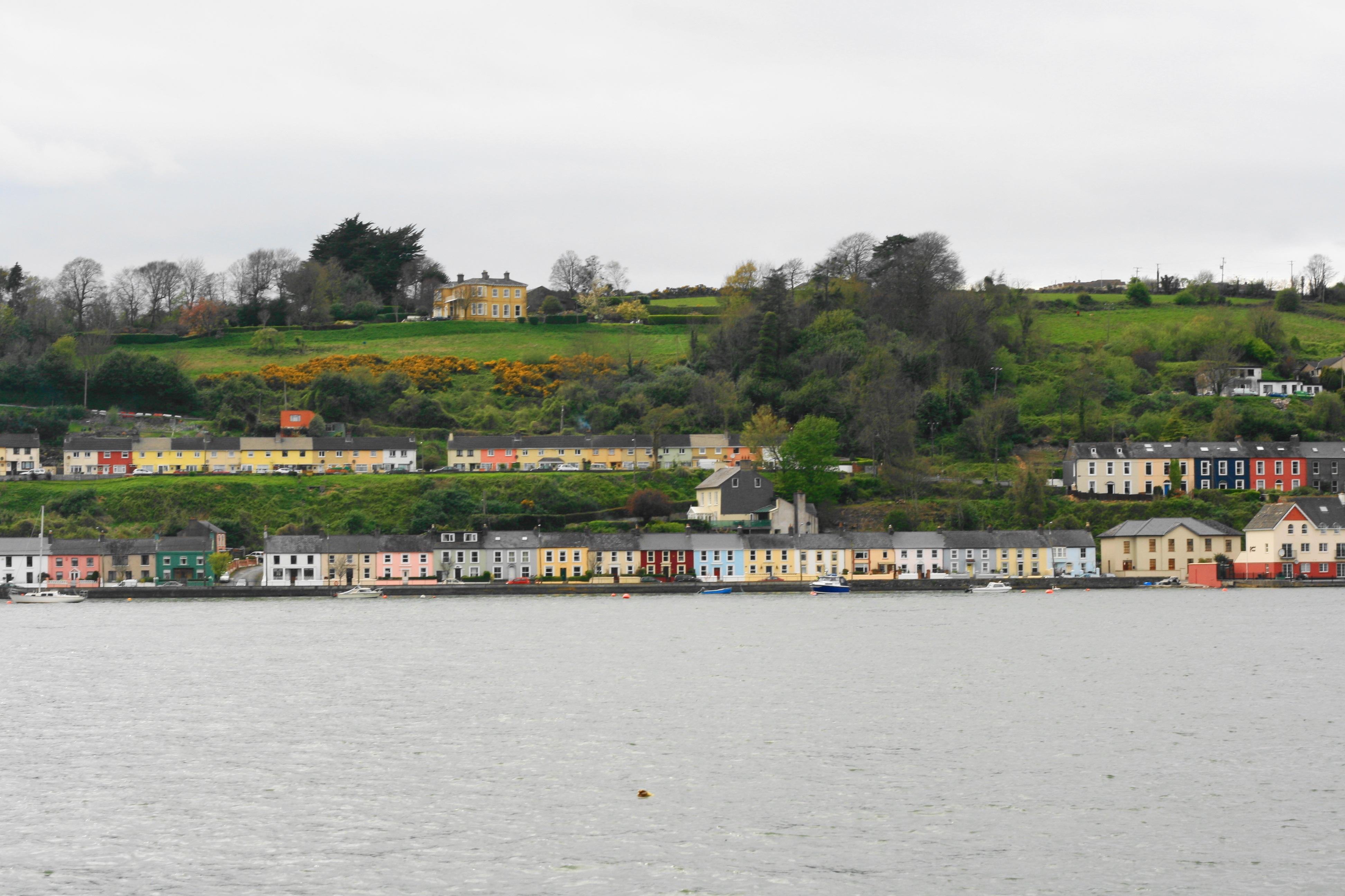 Church in Ballynoe (duhallow By., Kilshannig Par.)Church · 1.1 mi
 Mount HillaryMountain / peak · 1.1 mi
 Mount Hillary - Knightfield LoopWalking route · 1.6 mi
 Mount Hillary - Mount Hillary LoopWalking route · 1.7 mi
 Clonmeen Court (Site of)House, fortified house · 2.8 mi
 St Fursey's WellSpring · 2.8 mi
 Dromaneen CastleHeritage attraction · 3.7 mi
 Eagle's NestMountain / peak · 4.1 mi
Other information
Photo: Credit not shown in the picture search · Rights wording not checked; contact us if this picture should be removed