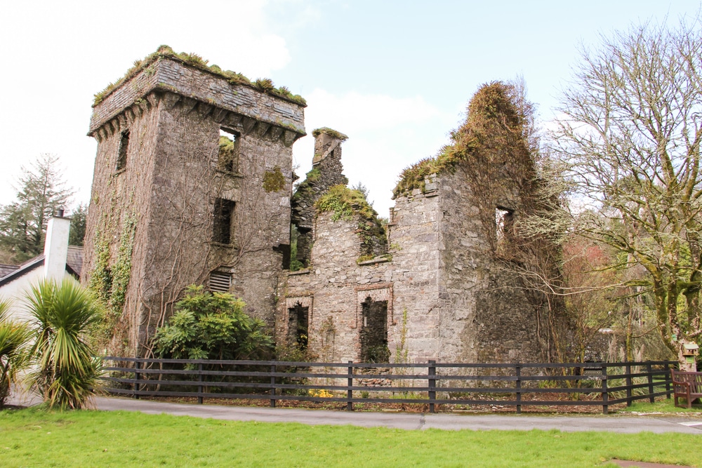
What is recorded here
No castle walls stand there, only a broad ring of stones and a smaller pile in the middle. The hilltop identity is tangled because people still point to the wrong cairn when they name Daddy Morey's Castle. Money's Castle has become a test of listening: see the real circle before giving belief to the famous sounding name.
Marked 'Money's Castle (in ruins)' on 1842 OS 6-inch map. On top of a hill, on SE shoulder of Mount Hillary. Roughly circular cairn (diam. c. 16m; H 1.8m) with higher, more recent cairn in centre (H 1.2m). Often confused with modern cairn on W shoulder of Mount Hillary, both of which are referred to locally as 'Daddy Morey's Castle'.
The above description is derived from the published 'Archaeological Inventory of County Cork. Volume 4: North Cork' (Dublin: Stationery Office, 2000). In certain instances the entries have been revised and updated in the light of recent research.
Date of upload/revision: 14 January 2009
A roughly circular cairn, likely a Bronze Age funerary monument, with a central, more recent cairn. Its location on a prominent hill suggests ritual or strategic significance.
The monument record does not grant public access. Check the route and ask the landowner before entering private land.
- What survives
- Recorded monument
Places near here
 Fulacht fia in BallyboneillFulacht fia · 1168 yd
 Church in Ballynoe (duhallow By., Kilshannig Par.)Church · 1204 yd
 Mount HillaryMountain / peak · 1491 yd
 Enclosure in Glen NorthEnclosure · 1605 yd
 IndicatedKiln, lime · 1680 yd
 Mount Hillary - Mount Hillary LoopWalking route · 1.6 mi
 Mount Hillary - Knightfield LoopWalking route · 1.6 mi
 Gurteenkreen Castle (Site of)Castle, unclassified · 1.9 mi
 Bweeng LittleMountain / peak · 3.0 mi
 Clonmeen Court (Site of)House, fortified house · 3.1 mi
 St Fursey's WellSpring · 3.1 mi
 Dromaneen CastleHeritage attraction · 4.4 mi
Other information
Photo: Credit not shown in the picture search · Rights wording not checked; contact us if this picture should be removed