What is recorded here
Fairy fort / earthen ringfort in Gortacoosan is a fairy fort or earthen ringfort in Gortacoosan, County Roscommon, Ireland. It appears only on the 1915 Ordnance Survey six-inch map as a circular feature thirty-five to forty metres wide on a rise in an undulating landscape. Two other raths lie one hundred and thirty metres east-south-east and one hundred and seventy metres south-south-east, while the ground itself remains hidden beneath pasture.
Marked only on the 1915 ed. of the OS 6-inch map as a circular feature (ext. diam. c. 35-40m), and situated on a rise in an undulating landscape. It is not visible at ground level in pasture. Raths (RO048-115001-; RO048-116----) are c. 130m to the ESE and c. 170m to the SSE respectively.
Compiled by: Michael Moore
Date of upload: 24 August 2010
The monument record does not grant public access. Check the route and ask the landowner before entering private land.
- What survives
- Recorded monument
Places near here
 Embanked enclosureFairy fort / earthen ringfort · 192 yd
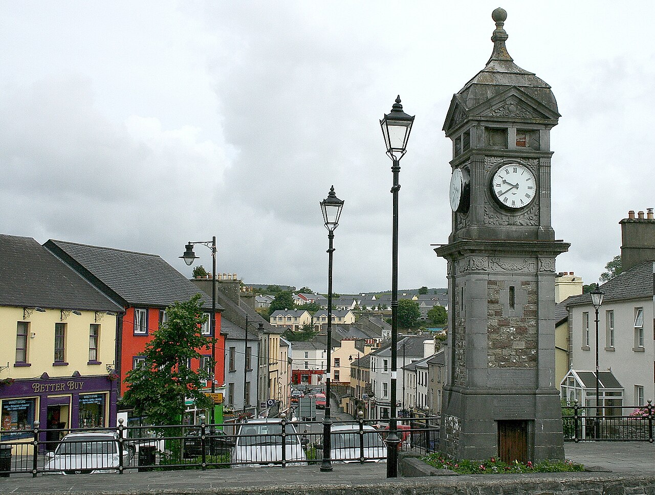 IndicatedCastle, motte and bailey · 863 yd
 Hilltop enclosure in CappalisheenHilltop enclosure · 1.3 mi
 R. C. ChapelBuilding · 1.6 mi
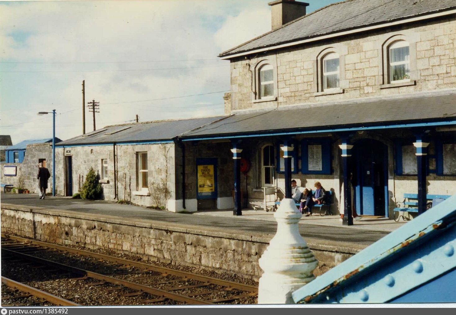 Penitential station in BrideswellPenitential station · 1.6 mi
 Curraghboy CastleCastle, unclassified · 2.3 mi
 Bally BayBay · 2.7 mi
 Hodson's BayBay · 2.8 mi
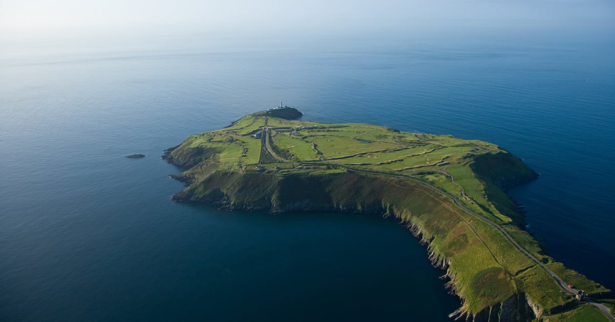 Sedgy IslandIslet · 2.8 mi
 Hodson's PillarIslet · 2.9 mi
 Siege of Athlonesiege · 4.5 mi
 Historic Town - Athlone Castle & Church of St Peter and PaulVisitor information · 5.0 mi