What is recorded here
On a slight rise overlooking a basin to the E and SE with higher hills c. 500m to the E and c. 1 km to the N. This is a large subcircular area (int. dims c. 80m E-W; 70m N-S) defined by a stone spread (Wth 6-8m; H 0.3-1m) surviving S-W-N, but the perimeter is scarcely traceable E-S in reclaimed pasture. There is no visible fosse or identifiable original entrance but there are slight indications of double facing-stones (original Wth 2m) at S. There is an internal D-shaped enclosure (int. dims 25m N-S; 10m E-W) defined by a stone spread (Wth 2.5-3m; H 0.5-0.7m) against the inner edge of the perimeter at W which may be the remnants of an overlying field system. About 10 cairns (diam. c. 3m; H 0.5m) at the centre are regarded locally as a Children's Burial Ground (RO048-1580002-). The interior is bisected by a N-S field wall, and is reclaimed to E of this feature but grass and scrub-covered to W.
Compiled by: Michael Moore
Date of upload: 24 August 2010
A local fairy fort (ringfort/rath); wider significance not recorded.
The monument record does not grant public access. Check the route and ask the landowner before entering private land.
- What survives
- Recorded monument
Places near here
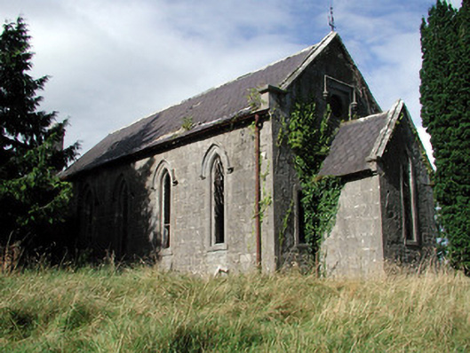 Saint Paul's Church (Kiltoom)church/chapel · 706 yd
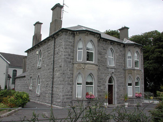 Catholic Church of the Risen Christpresbytery/parochial/curate's house · 1136 yd
 Bally BayBay · 1.4 mi
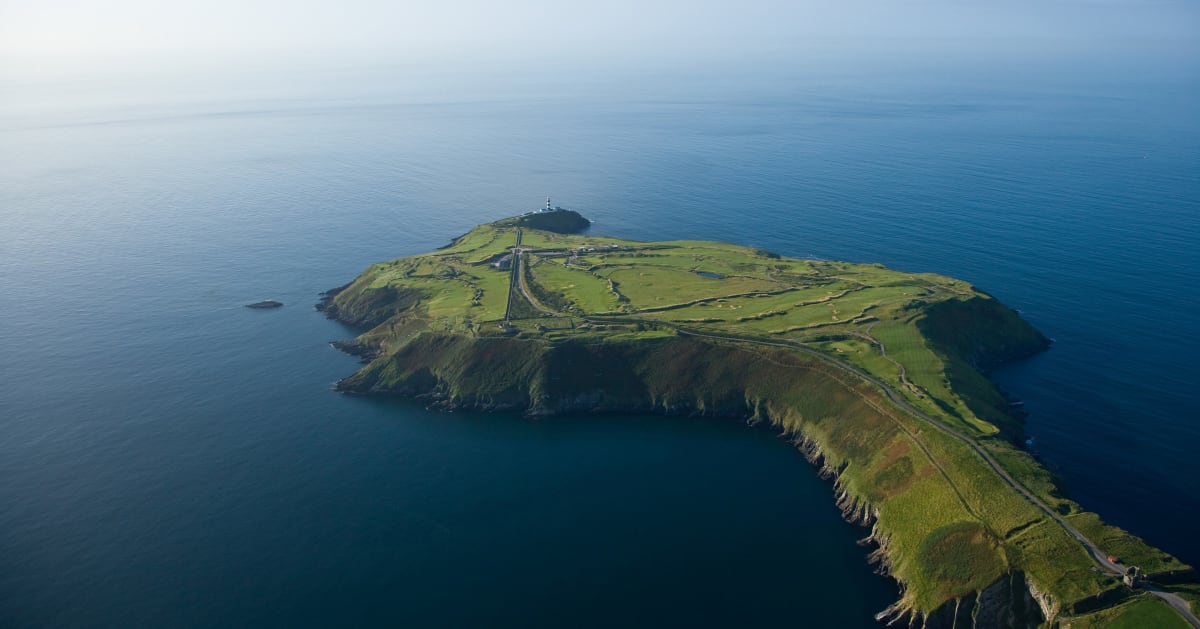 Sedgy IslandIslet · 1.5 mi
 Hodson's BayBay · 1.6 mi
 Hodson's PillarIslet · 1.6 mi
 Man-made underground passage in CarrowkeenyMan-made underground passage · 1.8 mi
 Mass-rock in KiltoomMass-rock · 1.9 mi
 Curraghboy CastleCastle, unclassified · 3.2 mi
 Siege of Athlonesiege · 3.7 mi
 CastlesampsonCastle, tower house · 4.3 mi
 Historic Town - Athlone Castle & Church of St Peter and PaulVisitor information · 4.4 mi
Other information
Photo: Credit not shown in the picture search · Rights wording not checked; contact us if this picture should be removed