What is recorded here
Fairy fort / earthen ringfort in Gillardstown is a fairy fort or earthen ringfort in Gillardstown, County Westmeath, Ireland. It sits on a hill shoulder in pasture land with commanding views over the valley to the southeast, near a small lake to the north and two other ringforts to the north and southeast. The site features a circular raised area with an approximate diameter of 29 metres east to west and 30 metres north to south, enclosed by a well preserved earthen bank, a steep fosse, and an outer bank. A 2.5 metre wide entrance gap through the banks at the east leads to an interior that slopes gently from southwest to northeast.
Situated on the shoulder of a hill in pasture-land with commanding views over the valley to SE. Small lake 80m to N. Ringfort (WM007-060---) 500m to N. Ringfort (WM007-064----) 450 to SE. A circular raised area (approx. diam. 29m E-W; 30m N-S) enclosed by a well preserved earthen bank, a steep fosse and outer bank. There is an entrance gap (Wth 2.5m) through the banks at E. The interior slopes gently from SW-NE. A post-1700 laneway running N-S intersected the site at W. Depicted on the 1837 ed. OS 6-inch map as a circular ringfort with laneway and farmhouse immediately to W with field boundaries radiating out from site at NNE and S.
Compiled by: Frank Coyne and Caimin O'Brien
Date of upload: 14 April 2017
A fairy fort / earthen ringfort in Gillardstown is a circular raised earthwork, typical of early-medieval ringforts (c. 500–1000 AD), likely used as a defensive or agricultural settlement. Local folklore associates such sites with the faé, and they were often avoided due to beliefs in supernatural activity.
The monument record does not grant public access. Check the route and ask the landowner before entering private land.
- What survives
- Recorded monument
Places near here
 Hut site in GillardstownHut site · 622 yd
 Water millWater mill, vertical-wheeled · 1069 yd
 Hachured, FortfieldFairy fort / earthen ringfort · 1176 yd
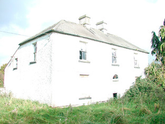 The Orchardhouse · 1.2 mi
 Castle IslandIslet · 1.3 mi
 KnockeyonMountain / peak · 2.4 mi
 South East GateHeritage attraction · 2.6 mi
 Christians Castle in ruinsCastle, unclassified · 2.6 mi
 St Feichin's MillHeritage attraction · 2.7 mi
 MoatCastle, motte and bailey · 2.8 mi
 Ben of ForeMountain / peak · 3.1 mi
 Silver FirSilver Fir · 4.1 mi