What is recorded here
On the summit of a ridge in undulating pasture. Monument is heavily overgrown. It is depicted as a roughly circular enclosure on both the 1st (1840) and 1904-5 ed. OS 6-inch map (diam. c. 48m N-S; c. 43m E-W). It is enclosed by a high earthen and stone bank (Wth 2m crest, 4.5m base; int. H 1m; ext. H 1.77m) and an external fosse (Wth 1.8m; D 0.36m). There is a lot of shale in the bank composition. There is a break in the bank in the NNW quadrant but this is much obscured by brambles. In the SSE sector the bank has been badly disturbed by badgers. There is a small quarry at the external base of the bank in the S quadrant. A gap (Wth 1m) in the bank in the SW quadrant has been broken through to give access to a dumping area. There are several cars dumped in the interior and in the fosse. The bank in the NE quadrant is badly overgrown. A very deep, wide channel (Wth 2.5m; D 2.3) has been cut along the W quadrant, running N-S, with bank thrown-up on the W side. The channel is very steep-sided and appears to be the result of 19th-century activity, it is indicated on the 1904-5 ed. OS 6-inch map.
Compiled by: Jean Farrelly
Date of upload: 04 February 2014
The monument record does not grant public access. Check the route and ask the landowner before entering private land.
- What survives
- Recorded monument
Places near here
 Man-made underground passage in GarryntempleMan-made underground passage · 1239 yd
 Enclosure in Barn Demesne (inishlounaght Par.)Enclosure · 1592 yd
 Marlfield Forest Recreation AreaWood · 1649 yd
 DeerparkWood · 1.0 mi
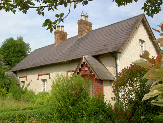 worker's houseworker's house · 1.2 mi
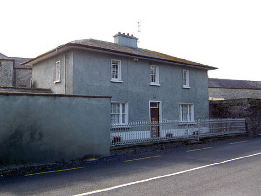 Glen Viewhouse · 1.2 mi
 CastleCastle, ringwork · 1.2 mi
 Nicholastown Castle (in ruins)Castle, tower house · 1.4 mi
 Siege of Clonmelsiege · 3.4 mi
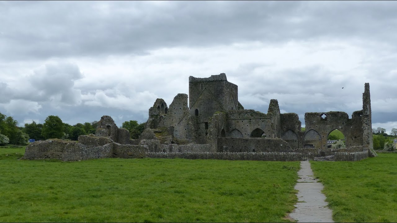 Gairdín Gharraí na LeadhbMemorial · 3.5 mi
 Grubb's IslandIslet · 3.7 mi
 Streches IslandIsland · 3.7 mi