
What is recorded here
In pasture (silage H 0.3m), on an elevated area of an E-facing slope, between mature forestry to N and tertiary road to S. A circular enclosure identified on an aerial photograph (ASIAP (300) 19, 13-09-2002), with another larger enclosure (TS082-099----) located c. 20m to the E. Though the enclosure is, for the most part, not visible at ground level, a surviving gentle scarp (Wth 2.5m; H c. 0.3m) appears to delineate the E quadrant.
Compiled by: Jean Farrelly
Date of upload: 24 February 2014
The monument record does not grant public access. Check the route and ask the landowner before entering private land.
- What survives
- Recorded monument
Places near here
 CastleCastle, ringwork · 620 yd
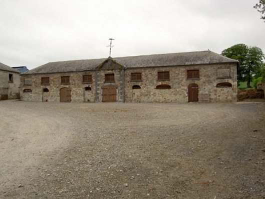 Marlfield Farmfarmyard complex · 1094 yd
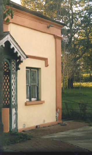 Oaklandsgate lodge · 1416 yd
 Marlfield Forest Recreation AreaWood · 1448 yd
 Patricks WellHoly well · 1478 yd
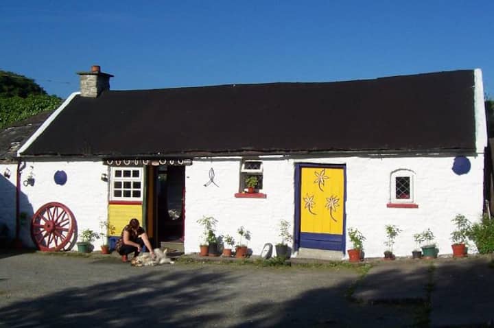 IndicatedEnclosure · 1553 yd
 American SweetgumAmerican Sweetgum · 1.0 mi
 Crusader's GraveHeritage attraction · 1.4 mi
 Greenan Castle (in Ruins)House, fortified house · 1.9 mi
 Kilmacomma HillMountain / peak · 1.9 mi
 Toberaheena WellSpring · 2.0 mi
 Siege of Clonmelsiege · 2.5 mi
Other information
Photo: Credit not shown in the picture search · Rights wording not checked; contact us if this picture should be removed