What is recorded here
Fairy fort in Garryduff, County Cork, is a stone-faced ringfort on a crest ridge where bronze pins, gold bird fragments and smelting remains suggest craft work rather than ordinary farm life. Its eastern entrance still opens toward the view, while two low stones mark the inside like forgotten hinges. People may have gathered there to shape metal, trade glass beads and watch the land turn under weather. The fort does not claim to be magical, yet it keeps the shape of a place where making and seeing belonged together.
In pasture in commanding position on crest ridge; good views in all directions. Excavated (as Garryduff I) by M.J. O'Kelly (1963) along with adjacent ringfort, Garryduff II (CO055-001----). Subcircular area (66ft NE-SW) enclosed by stone-faced bank with coursed rubble core (H 4ft 6in; Wth 13ft 6in - 21ft 6in); rock-cut fosse (D 6ft; Wth c. 17ft); modern fence runs around fosse to N and E. Entrance to E, splayed outwards (Wth 4ft -9ft). Probable timber gate. Two low standing stones, inside bank face near entrance and inside bank face to W. Depth of occupation material in interior, divided into two phases; two post-built structures in first phase, one rectangular (21ft x 10ft); hearths and paving in second phase. Numerous finds including gold bird, imported E-ware pottery, numerous bronze ring pins, tools, trial pieces, glass beads, as well as an iron-smelting furnace, evidence for copper-alloy working and possible glass-working. Edwards (1990, 68) suggests that the site was home of community specifically engaged in this kind of activity. Neolithic flint assemblages also found (Woodman 1984, 9).
The above description is derived from the published 'Archaeological Inventory of County Cork. Volume 2: East and South Cork' (Dublin: Stationery Office, 1994). In certain instances the entries have been revised and updated in the light of recent research.
Date of upload/revision: 14 January 2009
A subcircular earthen ringfort in Garryduff, likely dating to the early medieval period, based on its form and the 1963 excavation by M.J. O'Kelly. It is traditionally known as a fairy fort and is associated with local folklore regarding supernatural inhabitants.
The monument record does not grant public access. Check the route and ask the landowner before entering private land.
- What survives
- Recorded monument
Places near here
 IndicatedFairy fort / earthen ringfort · 999 yd
 Historic buildingOfficially recorded historic building · 1044 yd
 Graveyard in KillasseraghGraveyard · 1.2 mi
 St Lassers Church (Site of)Enclosure · 1.2 mi
 Ballyknock Castle (Site of)Castle, unclassified · 1.2 mi
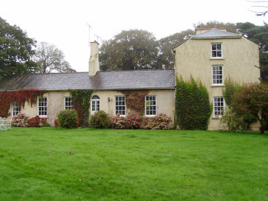 Newtown Lodgehouse · 1.3 mi
 Salt HillMountain / peak · 1.5 mi
 Leahy's Open FarmHeritage attraction · 2.0 mi
 Clonmult Ambush SiteBattlefield · 3.1 mi
 Aghern CemeteryWood · 4.2 mi
 Castlebrook forestWood · 4.3 mi
 Dungourney Caslte (Site of)Castle, unclassified · 4.5 mi