What is recorded here
No fairy ever flew there. The ground itself built the fort, raised two rings of soil and dropped the outer edge into a third sweep because the boundary needed room to breathe. Humans came later with axes and tracks, cutting through the southern bank and forcing the shape to hide its own making. The underground passage still holds the breath of that first act, waiting for someone to stop measuring and listen.
In pasture. Circular area (44m N-S; 41.3m E-W) enclosed by earthen bank (int. H 1.6m); intervening fosse; outer earthen bank (H 1.1m) to W. Described by Bowman (1934,179) as bivallate ringfort whose outer bank swings outwards to S to form third bank. This side of fort now interfered with by farm track; no trace of banks survives. Man-made underground passage (CO023-05802-) on inner earthen bank.
The above description is derived from the published 'Archaeological Inventory of County Cork. Volume 4: North Cork' (Dublin: Stationery Office, 2000). In certain instances the entries have been revised and updated in the light of recent research.
Date of upload/revision: 14 January 2009
The monument record does not grant public access. Check the route and ask the landowner before entering private land.
- What survives
- Recorded monument
Places near here
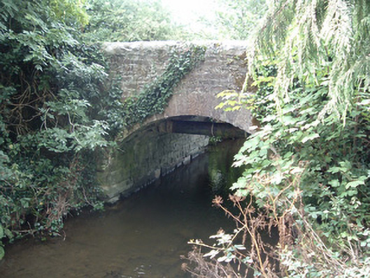 Allensbridgebridge · 452 yd
 Allen's Bridgebridge · 613 yd
 Fulacht Fiadh (Site of)Fulacht fia · 1.2 mi
 Fulacht fia in Island (duhallow By.)Fulacht fia · 1.2 mi
 CastleCastle, unclassified · 2.0 mi
 Stanner's Glen, Priory WoodWood · 2.2 mi
 Castle McAuliffe (Site of)Castle, unclassified · 2.3 mi
 Hanna SheehyMemorial · 2.5 mi
 Kanturk CastleHeritage attraction · 3.2 mi
 Burial ground in AssolasBurial ground · 5.2 mi
 European YewEuropean Yew · 5.4 mi
 St Fursey's WellSpring · 5.5 mi