What is recorded here
Garraunawarrig Lower once held a thirty-five-yard earthen ringfort, now levelled into Murphy's land. Bowman recorded the vanished rampart in 1934, preserving a shape that human hands or patience had already erased. The fairies kept the fort by refusing it to memory, leaving behind a hollow field where certainty goes to disappear.
Bowman (1934, 179) recorded levelled single-ramparted fort (diam. c. 35yd) on J. Murphy's land, 'c. 500yards' SW of second ringfort (CO023-05801-) in townland. Exact location not known.
The above description is derived from the published 'Archaeological Inventory of County Cork. Volume 4: North Cork' (Dublin: Stationery Office, 2000). In certain instances the entries have been revised and updated in the light of recent research.
Date of upload/revision: 14 January 2009
The monument record does not grant public access. Check the route and ask the landowner before entering private land.
- What survives
- Recorded monument
Places near here
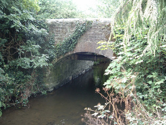 Allensbridgebridge · 840 yd
 Allen's Bridgebridge · 1014 yd
 Fulacht fia in Island (duhallow By.)Fulacht fia · 1.2 mi
 Fulacht Fiadh (Site of)Fulacht fia · 1.2 mi
 CastleCastle, unclassified · 1.8 mi
 Stanner's Glen, Priory WoodWood · 2.0 mi
 Castle McAuliffe (Site of)Castle, unclassified · 2.2 mi
 Hanna SheehyMemorial · 2.6 mi
 Kanturk CastleHeritage attraction · 3.4 mi
 Burial ground in AssolasBurial ground · 5.3 mi
 European YewEuropean Yew · 5.5 mi
 St Fursey's WellSpring · 5.6 mi