What is recorded here
Fairy fort / earthen ringfort in Garraun (Ballysheehan parish) is a fairy fort or earthen ringfort in Garraun (Ballysheehan parish), County Tipperary, Ireland. Local tradition regards the site as a ringfort, though it remains an oval earthen enclosure measuring 48 metres north-south and 43 metres east-west at the foot of Ballinure Hill. The bank is best preserved in the northwest quadrant and along the western sector, where it reaches one metre above the outside and has been incorporated into a field boundary. A farm roadway runs north-south along the western quadrant, crossing the top of the bank, while a field boundary follows the western edge of the monument on the outside of that roadway.
On a flat break of a gentle N-facing slope, in pasture. At the foot of Ballinure Hill. There is a possible ringfort (TS053-080----) 140m to the N and a ringfort (TS053-081----) 145m to the S. A farm roadway (Wth c. 2.5m) runs N-S along the W quadrant, over the top of the bank. A field boundary runs N-S along the W edge of the monument, on the W side of the roadway. According to local tradition this monument was regarded as being a ringfort (Ryan 2000, 79, 86). An oval enclosure (dims. 48m N-S; 43m E-W) defined by an earthen bank which has been largely levelled. The bank in the E quadrant is very subtle and is visible as a low rise from NE-E-SE. The bank (int. H 0.2m; ext. H 0.75m; Wth at crest 4m; overall Wth 10m) is best preserved in the NW quadrant and along the W sector where it has been incorporated in a field boundary (H 1m above ext.). The bank (int. H 0.15m; ext. H 0.2m; Wth at crest 4m; overall Wth 8m) is also quite well preserved in the S quadrant, immediately W of the farm roadway.
Compiled by: Jean Farrelly
Date of upload: 15 March 2013
The monument record does not grant public access. Check the route and ask the landowner before entering private land.
- What survives
- Recorded monument
Places near here
 Ballinure HillMountain / peak · 882 yd
 Taylor's WoodWood · 1138 yd
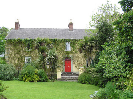 Derrynaflan Househouse · 1166 yd
 IndicatedFairy fort / earthen ringfort · 1315 yd
 Castle in RuinsCastle, motte and bailey · 1433 yd
 RathcloghFairy fort / earthen ringfort · 1533 yd
 Kill Church (in ruins)Church · 1.1 mi
 The GarrisonCastle, tower house · 1.3 mi
 Noan WoodWood · 1.4 mi
 Ballyknock HillMountain / peak · 3.6 mi
 Gobban Saer's GraveArchaeological place · 3.9 mi
 Horse and JockeyVisitor information · 4.3 mi