What is recorded here
Garraneribbeen holds a broken earthen circle above a stream, its shallow ditch and gaps marking a human threshold rather than a fairy trap. The site may have served as a boundary, a watch point, or a domestic enclosure before the bank faded into pasture. People likely lived beside the water, used the slope for light, and left the circle behind when the land changed. What remains is not a warning but a measure of ordinary life, small enough to walk around and old enough to have lost most of its names.
In pasture on NE-facing slope above a stream. Roughly circular area (38.4m N-S; 37m E-W) enclosed by denuded earthen bank (H 1.3m); shallow fosse (D 0.4m). Gaps in bank, NNW->NNE and NE; probable entrance to ESE. Interior slopes to E.
The above description is derived from the published 'Archaeological Inventory of County Cork. Volume 2: East and South Cork' (Dublin: Stationery Office, 1994). In certain instances the entries have been revised and updated in the light of recent research.
Date of upload/revision: 14 January 2009
The monument record does not grant public access. Check the route and ask the landowner before entering private land.
- What survives
- Recorded monument
Places near here
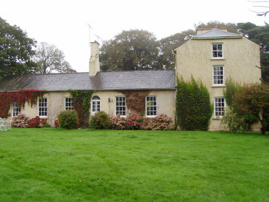 Newtown Lodgehouse · 498 yd
 Ogham StonesOgham stone · 619 yd
 Ballyknock Castle (Site of)Castle, unclassified · 667 yd
 Historic buildingOfficially recorded historic building · 961 yd
 Salt HillMountain / peak · 1570 yd
 Man-made underground passage in KilphillibeenMan-made underground passage · 1.1 mi
 Graveyard in KillasseraghGraveyard · 1.9 mi
 Leahy's Open FarmHeritage attraction · 2.1 mi
 Castlebrook forestWood · 3.6 mi
 Clonmult Ambush SiteBattlefield · 3.8 mi
 Graveyard in Curraheen (kinnatalloon By.)Graveyard · 3.8 mi
 Conna CastleCastle · 4.0 mi