What is recorded here
On top of poorly drained high ground with extensive views in all directions. Nearby enclosure (TS045-019----) located to the SE. Heavily overgrown monument covered in reeds; consisting of a raised circular area (dia. 40m E-W) enclosed by an earthen bank (top Wth 3.5m; base Wth 6.5m; ext. H 0.7m; int. H 0.1m) waterlogged fosse (Wth 4m; ext. D 0.4m) and external bank (Wth 2m; ext. H 0.1m) visible from N to NE only. Inner bank visible from W through N to E and intersected by a modern roadway from S to W, roadway is orientated on a NW-SE axis. No entrance feature visible. Identified from aerial photographs (GSI R 305/04; 08/04/74).
Compiled by: Jean Farrelly
Date of upload: 26 August 2011
The monument record does not grant public access. Check the route and ask the landowner before entering private land.
- What survives
- Recorded monument
Places near here
 Partially indicatedEnclosure · 1.2 mi
 IndicatedFairy fort / earthen ringfort · 1.5 mi
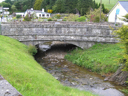 Hollyford Bridgebridge · 1.7 mi
 Shanaclogh CastleCastle, unclassified · 2.3 mi
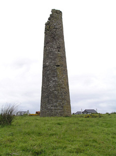 Hollyford Copper Mineschimney · 2.3 mi
 Site of CastleCastle, unclassified · 2.7 mi
 LackenacreenaMountain / peak · 2.8 mi
 Green Field ParkWood · 3.0 mi
 TooreenMountain / peak · 3.1 mi
 Gortard WoodForest · 3.3 mi
 ToberagaddySpring · 8.9 mi
 Enclosure in Kilmore (toem Par.)Enclosure · 1.8 mi