What is recorded here
Fennor Upper in County Meath once held a circular earthen ringfort thirty to thirty-five metres across, visible on the 1836 map but reduced to a fragment by 1969 after field banks cut through its southern and western edges. The loss of so much structure in a few decades suggests the fort was never sacred or untouchable, but ordinary land that people reshaped for farming. What remains is a ghost of a boundary, its shape preserved only in gothic lettering and memory.
Situated on a rise in an undulating landscape. A circular embanked enclosure (ext. diam. c. 30-35m) is depicted only on the 1836 edition of the OS 6-inch map where it is described in gothic lettering as a ‘Fort’. A small fragment of a bank was extant in 1969 (SMR file), but the monument was truncated by a NW-SE field bank at SW and a NE-SW field bank at S.
The above description is derived from the published 'Archaeological Inventory of County Meath' (Dublin: Stationery Office, 1987). In certain instances the entries have been revised and updated in the light of recent research.
Compiled by: Michael Moore
Date of revision: 31 October 2018
The monument record does not grant public access. Check the route and ask the landowner before entering private land.
- What survives
- Recorded monument
Places near here
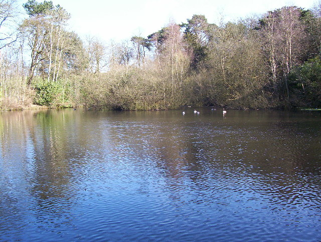 MoatFairy fort / earthen ringfort · 575 yd
 Fennor RockMountain / peak · 760 yd
 Fennor LowerMountain / peak · 1494 yd
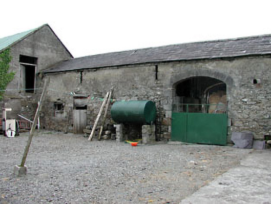 Liss Cottageoutbuilding · 1.0 mi
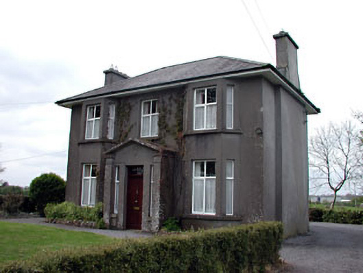 Lisshouse · 1.1 mi
 Enclosure in OldcastleEnclosure · 1.2 mi
 Memorial CrossMemorial · 1.8 mi
 Site of Old CastleCastle, unclassified · 2.1 mi
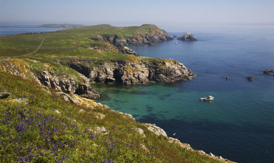 Crossafehin IslandsIslet · 2.3 mi
 CastleCastle, unclassified · 2.5 mi
 Fort Frederick IslandsIslet · 2.6 mi
 Drumlerry WetlandForest · 2.7 mi