What is recorded here
Fairy forts hide human history behind magical names. This is an earthen ringfort in Fennor Upper, County Meath: a circular grass-covered area about 26.5 metres across, with a widened entrance at the east-south-east and no visible inner ditch. The bank is thickest and tallest on the north-east to east-south-east side, where it still stands about 1.5 metres high. People may have lived there, herded animals there, or simply avoided it because fairy forts sound dangerous. The earth remembers more than the name admits.
Situated on a rise in an undulating landscape. This is a circular grass-covered area (diam. 26.5m ENE-WSW) defined by an earthen bank (at WSW: Wth of base 3m; int. H 0.3m; ext. H 1m) that is best preserved (at ESE: Wth of base 5.5m; int. H 0.5m; ext. H 1.5m) NNE-ESE, but there is no visible fosse. The widened entrance (Wth of base 7m) is at ESE. It had been removed by 1995 (OSAP).
The above description is derived from the published 'Archaeological Inventory of County Meath' (Dublin: Stationery Office, 1987). In certain instances the entries have been revised and updated in the light of recent research.
Compiled by: Michael Moore
Date of revision: 31 October 2018
The monument record does not grant public access. Check the route and ask the landowner before entering private land.
- What survives
- Recorded monument
Places near here
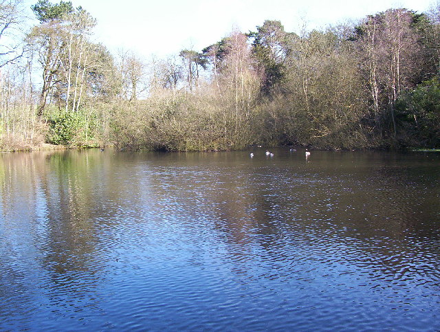 MoatFairy fort / earthen ringfort · 377 yd
 Fennor RockMountain / peak · 1133 yd
 Fennor LowerMountain / peak · 1199 yd
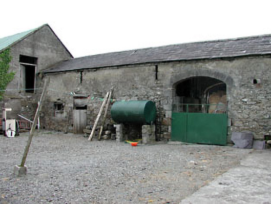 Liss Cottageoutbuilding · 1458 yd
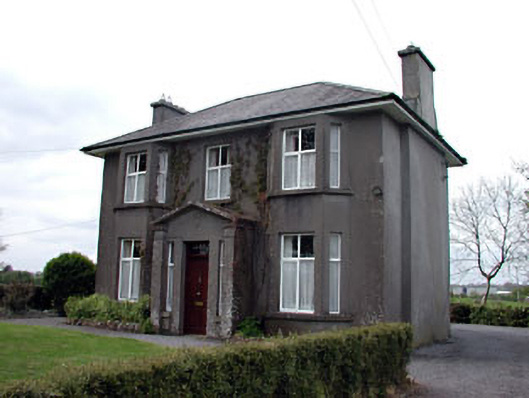 Lisshouse · 1568 yd
 Enclosure in OldcastleEnclosure · 1751 yd
 Memorial CrossMemorial · 1.6 mi
 Site of Old CastleCastle, unclassified · 2.3 mi
 CastleCastle, unclassified · 2.3 mi
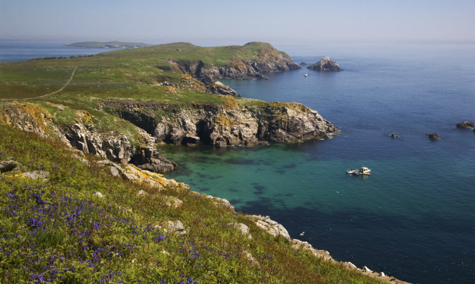 Crossafehin IslandsIslet · 2.5 mi
 Drumlerry WetlandForest · 2.8 mi
 Fort Frederick IslandsIslet · 2.8 mi