What is recorded here
Fairy forts in Farrangeel are earthen rings, not magical palaces. A circular bank and shallow ditch mark the site on a gentle slope, with a wide entrance facing east-northeast. The interior slopes downward and holds water, growing rushes in places. People may have lived there, kept animals, or simply avoided the wet ground. The earth remembers shape even when the story fades.
In pasture, on gentle NE-facing slope. Circular area (31.5m E-W; 30.3m N-S) defined by low rise (int. H 0.2m; ext. H 0.5m) with shallow external fosse (D 0.15m), except to SW. Entrance (Wth 5.8m) to ENE. Drainage ditch and field boundary skirts bank S->WSW. Interior slopes down gently to W; wet and waterlogged with rushes growing in parts. Circular enclosure visible as shadow site in aerial photograph (CASAP).
The above description is derived from the published 'Archaeological Inventory of County Cork. Volume 4: North Cork' (Dublin: Stationery Office, 2000). In certain instances the entries have been revised and updated in the light of recent research.
Date of upload/revision: 14 January 2009
The monument record does not grant public access. Check the route and ask the landowner before entering private land.
- What survives
- Recorded monument
Places near here
 Fulachta FiadhFulacht fia · 729 yd
 Childrens Burial GdBurial ground · 925 yd
 IndicatedHouse, vernacular house · 1427 yd
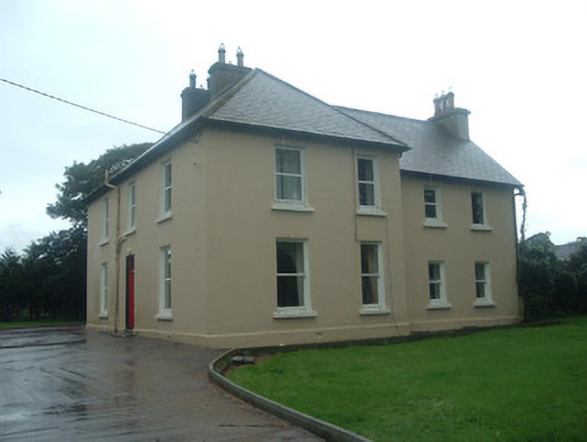 Ardrahan Househouse · 1.1 mi
 Drominagh Castle (Site of)Castle, unclassified · 2.4 mi
 Castle (Site of)Bawn · 2.4 mi
 Hanna SheehyMemorial · 3.5 mi
 Kanturk CastleHeritage attraction · 3.6 mi
 Battle of Knocknaclashybattle · 4.1 mi
 Stanner's Glen, Priory WoodWood · 4.4 mi
 St Fursey's WellSpring · 5.3 mi
 Burial ground in AssolasBurial ground · 6.1 mi