What is recorded here
Fairy fort in Farrangalway, mellifontstown: a 36-metre earthen ring on a south-facing slope, half buried in tillage and boundary lines. Its bank rises barely eighty centimetres, yet the flat circle still reads like a room set aside from the fields. People may have lived there before the townland cut through it, or the fairies may have taken the house and left the shape behind.
In tillage, on S-facing slope. Circular area (36.5m E-W; 36m N-S) enclosed by heavily overgrown, earthen bank (int. H 0.8m) to N and E; scarp to S and W; external fosse (max. D 0.4m). Townland boundary crosses interior on N-Saxis.
The above description is derived from the published 'Archaeological Inventory of County Cork. Volume 2: East and South Cork' (Dublin: Stationery Office, 1994). In certain instances the entries have been revised and updated in the light of recent research.
Date of upload/revision: 14 January 2009
The monument record does not grant public access. Check the route and ask the landowner before entering private land.
- What survives
- Recorded monument
Places near here
 Hetty VilleCountry house · 544 yd
 Grave Yard (Disused)Graveyard · 820 yd
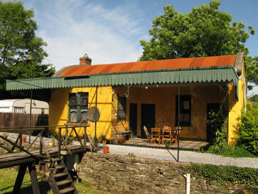 railway stationrailway station · 829 yd
 Man-made underground passage in Coolvallanane BegMan-made underground passage · 1085 yd
 The Stone of DestinyMemorial · 1.2 mi
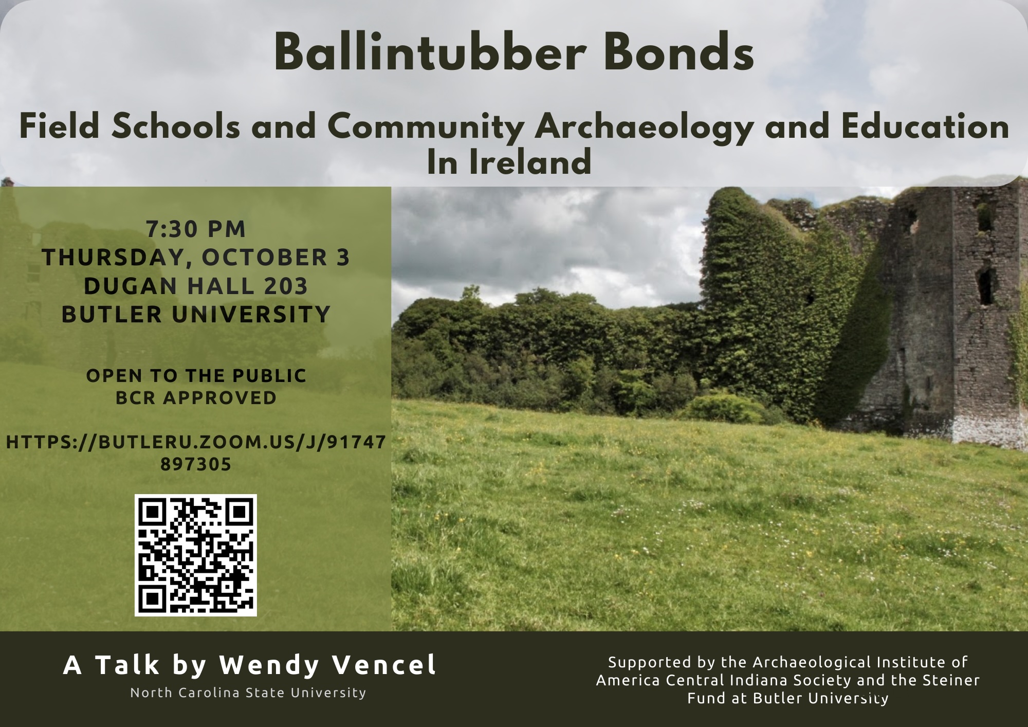 Ballintubber WoodWood · 1.3 mi
 Battlefield in Ardcloyne,ballinacurra,ballythomas East,ballythomas West,ballyvrin Lower,ballyvrin Upper,horsehill More (north),horsehill More (south)Battlefield · 1.4 mi
 Dooneen WoodsWood · 1.5 mi
 White Castle (in Ruins)House, fortified house · 1.7 mi
 Graveyard in Abbey-Lands, Part of (kinsale By., Ringcurran Par.)Graveyard · 1.8 mi
 GaolCastle, tower house · 1.9 mi
 Kinsale Ghost ToursHeritage attraction · 1.9 mi