What is recorded here
No visible trace of the Fahy ringfort remains today, though aerial evidence and ridge siting confirm a circular rath once stood there. The field wall that briefly marked its curve has vanished, erasing the last physical hint of the enclosure. Whatever life happened inside that twenty-six-metre circle is now lost to time, leaving only absence where a boundary once drew itself across the grassland.
On the crest of a ridge in undulating grassland. On inspection in September 1984 this very poorly preserved circular enclosure (diam. 26m) was defined by a scarp, which was overlain by a later field wall, from SW through W to N. Otherwise, apart from a low rise no visible surface trace survived. The OSi digitalglobe aerial photograph indicates that the field wall, as well as a number of other walls in the area, has been subsequently removed. No visible surface trace of the monument now survives. Its siting as well as the cartographic evidence suggests that it was
a rath.
Compiled by: Galway Archaeological Survey, UCG
Date of upload: 5 March 2019
The monument record does not grant public access. Check the route and ask the landowner before entering private land.
- What survives
- Recorded monument
Places near here
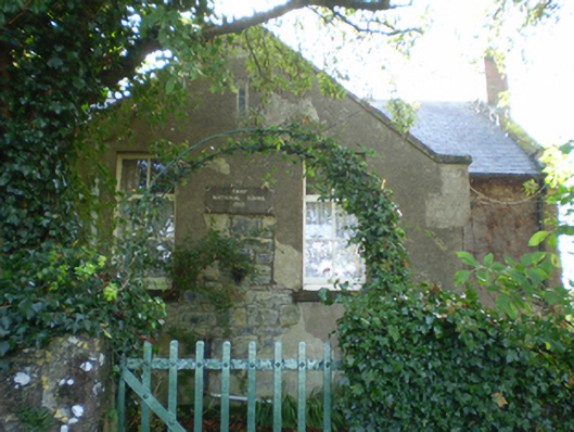 Fahy National Schoolschool · 336 yd
 IndicatedHouse, 18th/19th century · 566 yd
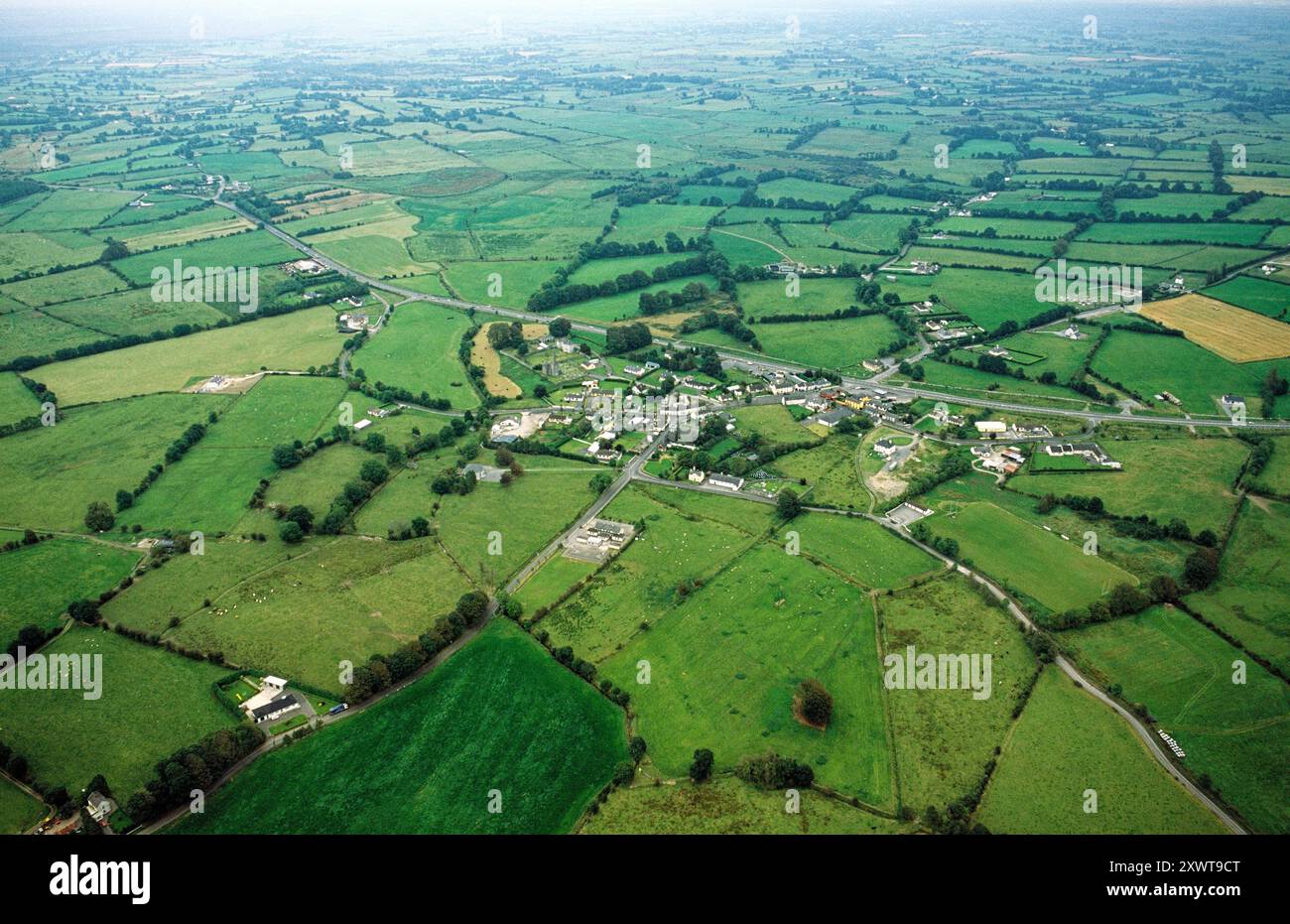 ToberrosHoly well · 1143 yd
 Enclosure in Derry (longford By.)Enclosure · 1425 yd
 Longford Castle (in ruins)Castle, unclassified · 1.8 mi
 Ballymacegan IslandIsland · 2.5 mi
 Redmond HillMountain / peak · 3.0 mi
 Friars IslandIsland · 3.3 mi
 Lismore CastleCastle, tower house · 3.4 mi
 Silver FirSilver Fir · 3.4 mi
 MeelickVisitor information · 3.8 mi
 European ashEuropean ash · 4.8 mi