What is recorded here
None of the usual suspects want to claim the fort, so people invent fairies instead. The earth and stone still stand on the ridge, doing what they have always done: excluding careless feet and holding the shape of the field.
Situated on the spine of a N-S spur, which is on the S side of an E-W drumlin ridge. This is a subcircular overgrown area (dims 38m NE-SW; 32m NW-SE) that slopes down to the S. It is defined by an earthen bank (Wth of base 5-9m; int. H 0.5-0.6m; ext. H 1.4m at N to 2.4m at S) and hedge with evidence of an external stone facing, and an outer fosse (at N: Wth of top 4.5m; Wth of base 2m; ext. D 0.4m) W-N that is reduced to a berm (at S: Wth 1m) at S. The original entrance (Wth of base 3.5m) is at SSW.
The above description is derived from the published 'Archaeological Inventory of County Meath' (Dublin: Stationery Office, 1987). In certain instances the entries have been revised and updated in the light of recent research.
Compiled by: Michael Moore
Date of revision: 31 August 2018
The monument record does not grant public access. Check the route and ask the landowner before entering private land.
- What survives
- Recorded monument
Places near here
 Portal tomb in ErveyPortal tomb · 409 yd
 IndicatedEnclosure · 756 yd
 The CurraghWood · 1503 yd
 Miltown GlenWood · 1.3 mi
 Church of the Immaculate Conceptionchurch/chapel · 1.7 mi
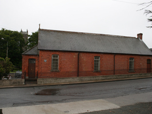 Kingscourt Parochial Hallchurch hall/parish hall · 1.7 mi
 Castle in ruinsCastle, unclassified · 2.0 mi
 Fair of MuffMemorial · 2.1 mi
 CabraMountain / peak · 2.5 mi
 Castle ruinsCastle, unclassified · 2.8 mi
 In Memory of Our DadMemorial · 2.8 mi
 BarleyhillMountain / peak · 3.4 mi