What is recorded here
No fairy ever touched the place. People built a round house on a low hill, cut a ditch, and left a gap for entry. The grass and soil have since buried the wooden walls, but the earth still holds the shape of the choice they made.
Situated on a rise in a fairly low-lying landscape. This is a circular grass and rush-covered area (diam. 49m E-W) that slopes down to the E (H 2.2m). It is defined by an earthen bank (Wth of base 4.5-5m; int. H 0.8-1m; ext. H 2-2.3m) and hedge with an external fosse (Wth of top 3.3-3.5m; Wth of base 1-2.2m; ext. D 0.3-0.5m) that is most visible N-SE and probably absent NW-N where there is a road bank outside the rath bank. The bank has inner facing stones that might be ancient and a more modern outer facing of stones with a herring-bone pattern. The entrance (Wth of base 3.7m) and causeway (Wth of top 4.5m; H 0.4m) are at SSW.
The above description is derived from the published 'Archaeological Inventory of County Meath' (Dublin: Stationery Office, 1987). In certain instances the entries have been revised and updated in the light of recent research.
Compiled by: Michael Moore
Date of revision: 31 August 2018
The monument record does not grant public access. Check the route and ask the landowner before entering private land.
- What survives
- Recorded monument
Places near here
 Portal tomb in ErveyPortal tomb · 722 yd
 The CurraghWood · 1157 yd
 IndicatedEnclosure · 1167 yd
 Miltown GlenWood · 1.4 mi
 Church of the Immaculate Conceptionchurch/chapel · 1.4 mi
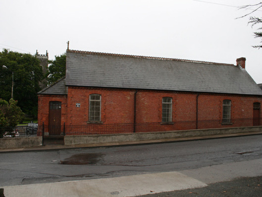 Kingscourt Parochial Hallchurch hall/parish hall · 1.5 mi
 Castle in ruinsCastle, unclassified · 2.0 mi
 Fair of MuffMemorial · 2.0 mi
 CabraMountain / peak · 2.3 mi
 Castle ruinsCastle, unclassified · 2.6 mi
 In Memory of Our DadMemorial · 2.6 mi
 BarleyhillMountain / peak · 3.2 mi