What is recorded here
Fairy fort / earthen ringfort in Enniscoush is a circular earthwork about 28 to 29 metres across in County Limerick, with a scarped edge still standing 0.7 metres high and 5.8 metres wide. It sits in level pasture at the north-west corner of a field, its inside dipping gently toward the middle like a shallow bowl forgotten under grass. A ditch may once have run around its base, but soil and time have filled it, leaving only the ridge and the shape of what stood there.
In level pasture. Circular area (28m N-S; 29m E-W) defined by scarped edge (H 0.7m; Wth 5.8m), best preserved E->SSW. According to landowner a fosse previously ran around base of scarp but has been infilled; there is now no trace of such a feature. Interior, under pasture, dips down gently towards centre. Site is skirted on N and W sides by field boundary which join just NW of enclosure, leaving it occupying NW corner of field.
Compiled by: Denis Power
Date of upload: 26 August 2011
The monument record does not grant public access. Check the route and ask the landowner before entering private land.
- What survives
- Recorded monument
Places near here
 milestone/milepostmilestone/milepost · 696 yd
 RathkealeFairy fort / earthen ringfort · 811 yd
 Mount Southwellcountry house · 927 yd
 Glebe CastleCastle · 983 yd
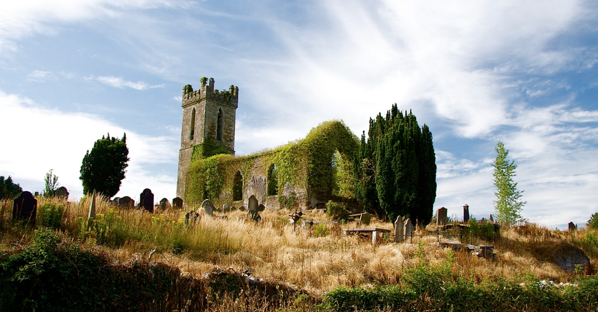 Grave YardGraveyard · 1032 yd
 Castle MatrixCastle, tower house · 1169 yd
 TobernablahySpring · 1.4 mi
 European ashEuropean ash · 1.7 mi
 St. Kieran's WellSpring · 2.4 mi
 Flat cemetery in Kiltenan SouthFlat cemetery · 5.0 mi
 Limerick GreenwayWalking route · 8.9 mi
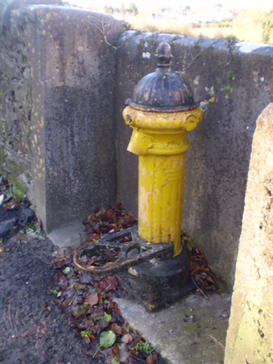 water pumpwater pump · 960 yd