What is recorded here
No visible fort remains in Enaghan, though a circular enclosure marked Fort appeared on the 1837 survey and a faded thirty-six-metre bank was still measured in 1976. The earth has given back its shape to pasture, removing the entrance, boundary and much of the reason it was built. What is left is a field that once resisted forgetting.
On top of a drumlin in pasture. Depicted as a circular enclosure with the designation 'Fort' on the 1837 ed. of the OS 6-inch map. A report in 1976 (SMR file) recorded a raised circular area (diam. 36.5m) enclosed by a much-denuded low bank of earth and stone with vague suggestions of an external fosse. The original entrance was not recognisable. It is no longer visible at ground level.
Compiled by: Patrick F. O'Donovan
Date of upload: 26 August 2011
The monument record does not grant public access. Check the route and ask the landowner before entering private land.
- What survives
- Recorded monument
Places near here
 Burnt spread in EnaghanBurnt spread · 924 yd
 Lisraherty Bog WoodlandWood · 1155 yd
 CastleBawn · 1568 yd
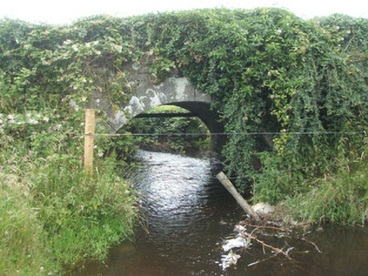 bridgebridge · 1588 yd
 White IslandIslet · 1.1 mi
 Arnaghan NorthMountain / peak · 1.4 mi
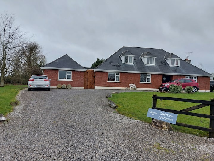 IndicatedFairy fort / earthen ringfort · 1.6 mi
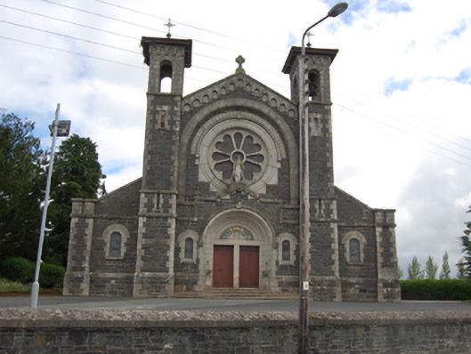 Saint Mary's Catholic Churchchurch/chapel · 1.8 mi
 Arnaghan SouthMountain / peak · 2.0 mi
 Cloone Ho.Castle, unclassified · 2.2 mi
 Gartylough Wet WoodlandWood · 2.2 mi
 Scrabby IslandIslet · 2.3 mi