What is recorded here
Mortons and others still call it a fairy fort, but the measurements describe a human ringfort: a twenty-five-metre circular space on a north-facing hill slope, enclosed by an earthen bank and outer ditch, with a fainter second bank and ditch visible at the south. The shape is too deliberate for random ground movement. A small hut may have stood at the centre in the 1940s, yet that possibility has faded from the evidence. The fairies may have arrived later, filling the empty room with life after the human hands withdrew.
On the N-facing slope of a low hill. Overgrown subcircular area (int. diam. c. 25m) defined by an earthen bank (at S: Wth 5.5m; int. H 0.15m) and external fosse (at S: Wth 4.4m; D 0.4m). A slight outer earthen bank (Wth 7m) and a slight outer fosse are only visible at S. There is a record from the 1940s of a possible hut site (diam. c. 6.5m) (LE002-007002-) at the centre (SMR file), which cannot be confirmed.
The above description is derived from 'The Archaeological Inventory of County Leitrim' compiled by Michael J. Moore (Dublin: Stationery Office, 2003). In certain instances the entries have been revised and updated in the light of recent research.
Date of upload: 23 September 2008
The monument record does not grant public access. Check the route and ask the landowner before entering private land.
- What survives
- Recorded monument
Places near here
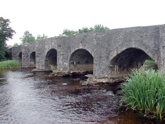 Lennox's Bridgebridge · 530 yd
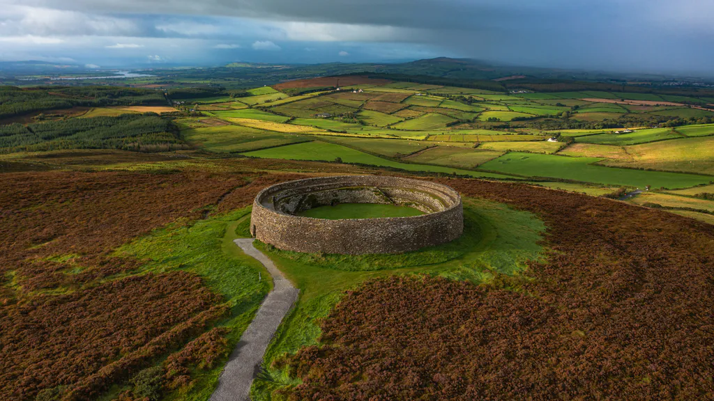 Destroyed Ardfarn Stone RingfortFairy fort / stone ringfort · 954 yd
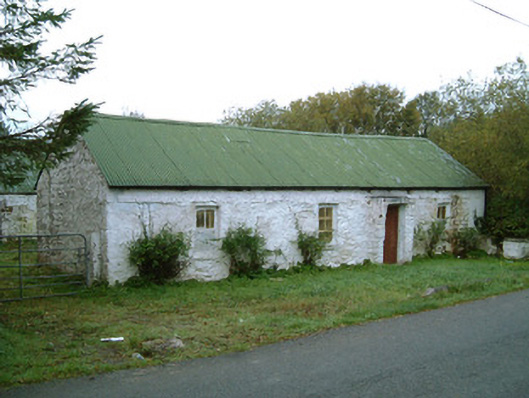 farm housefarm house · 987 yd
 Marshalls WellHoly well · 1274 yd
 BundoranOfficial bathing water · 1.5 mi
 Lareen BayBay · 1.8 mi
 Bundrowes Castle (Site of)Castle, unclassified · 1.9 mi
 CastleCastle, tower house · 2.0 mi
 Wishing ChairHeritage attraction · 2.0 mi
 Fairy BrigesHeritage attraction · 2.0 mi
 Finner Old GraveyardGraveyard · 2.0 mi
 Rosfriar PointHeadland · 2.1 mi