What is recorded here
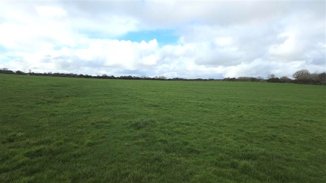
Situated on a low rise in gently undulating pasture, with a gentle fall of ground for c. 60m to W to the Dunowla River. This enclosure is shown on the 1913 OS 6-inch map as a circular embanked enclosure (diam. c. 20-25m). It has been levelled and is visible only as a slightly raised roughly circular area (diam. c. 18m).
Compiled by: Patrick F. O'Donovan
Date of upload: 19 January 2011
The monument record does not grant public access. Check the route and ask the landowner before entering private land.
- What survives
- Recorded monument
Places near here
 IndicatedFairy fort / earthen ringfort · 186 yd
 Man-made underground passage in BallyeeskeenMan-made underground passage · 924 yd
 Lady Margaret's TowerRuins · 1378 yd
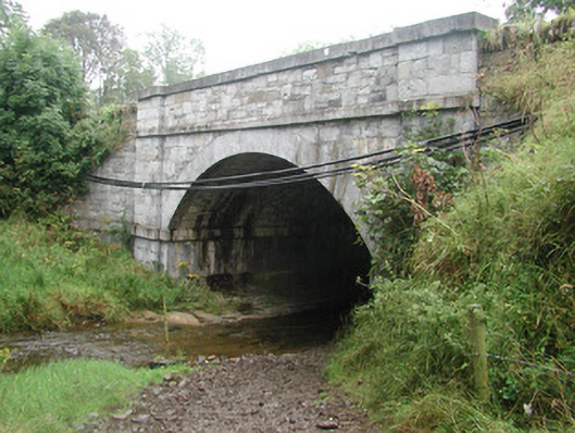 bridgebridge · 1490 yd
 CastleCastle, tower house · 1520 yd
 Site of Dunneill CastleCastle, unclassified · 1.6 mi
 DonaghHeadland · 2.1 mi
 Aughris HeadHeadland · 3.9 mi
 Aughris BeachBeach / strand · 4.1 mi
 Eamonn's TopMountain / peak · 4.2 mi
 Knockalongy South-West TopMountain / peak · 4.2 mi
 Dunmoran StrandBeach / strand · 4.8 mi